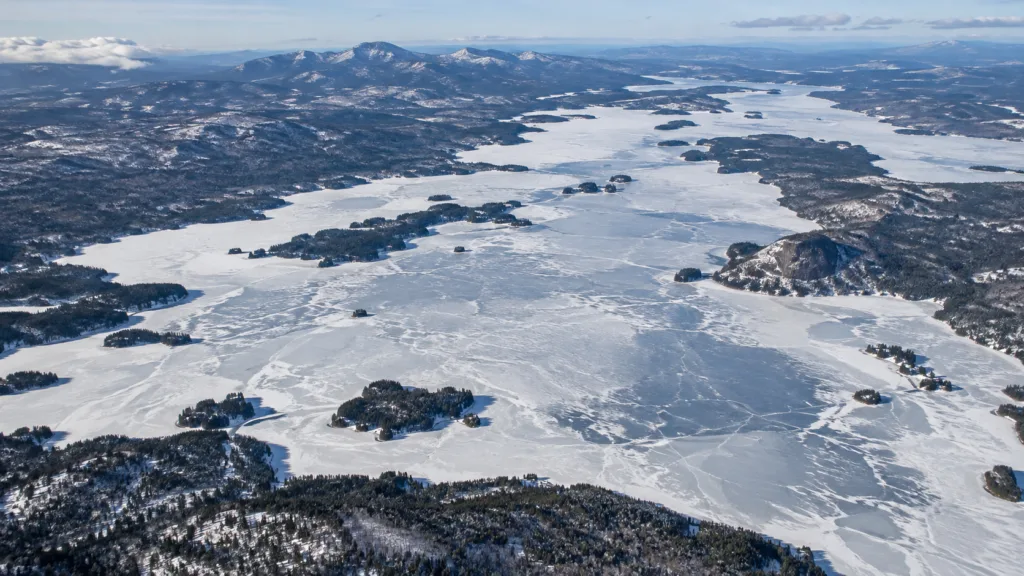
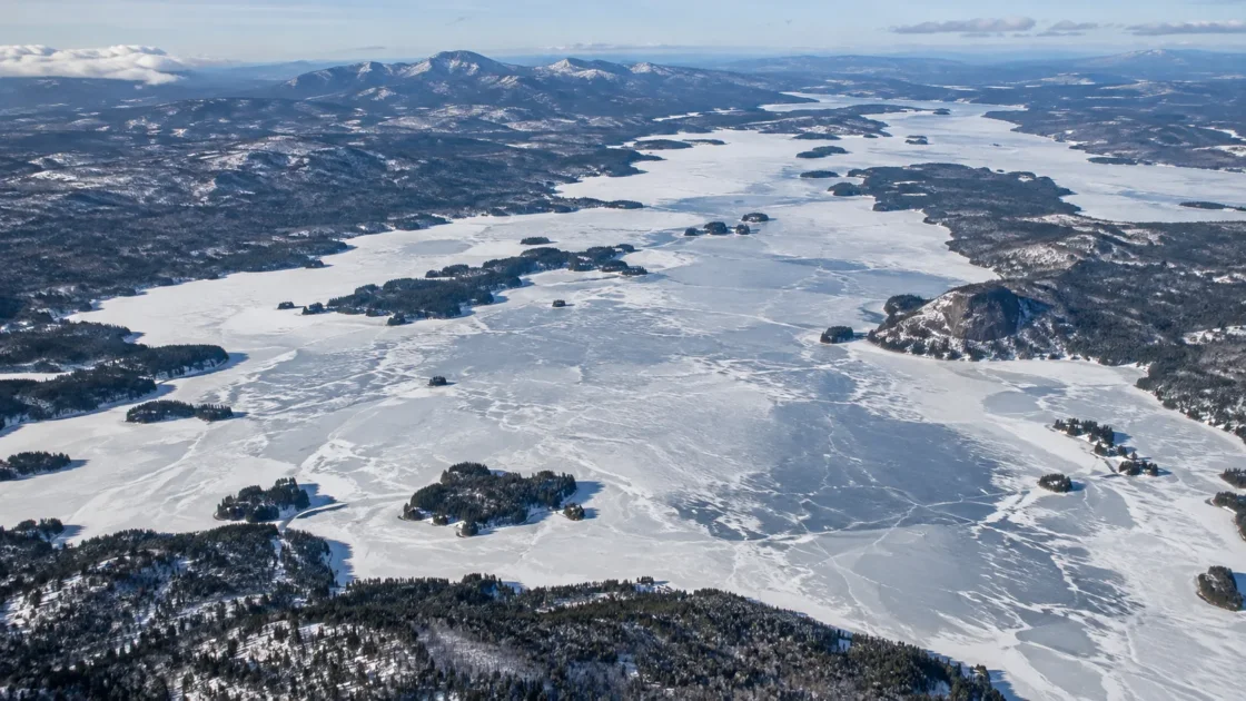
Extensive seasonal ice with localized winter open-water exceptions
Historical Monitoring RecordMaine Bureau of Parks and Lands — Maine Lakes Ice OutU.S. Geological Survey — Historical Ice-Out Dates for 29 Lakes in New England, 1807–2008U.S. Geological Survey — Historical Changes in Lake Ice-Out Dates in New England, 1850–2000Maine Department of Inland Fisheries and Wildlife — Moosehead Lake SurveyMaine Department of Inland Fisheries and Wildlife — 2024 Fishing Regulation ProposalsMoosehead Historical Society — Ice-Out on MooseheadEvidence: ModerateSustained northern Maine cold supports broad winter ice, while the lake's large surface, 246-foot maximum depth, wind exposure, tributary inflows and outlets make freeze and breakup spatially uneven.
Where Is Moosehead Lake?
Maine · United States
Moosehead Lake on the Globe
Rotate the world or focus directly on the lake.
Measured Ice and Freeze Data
Freeze and Ice Cover Through the Year
Month-level states are shown only when supported. Unclassified months remain explicitly marked.
Evidence Behind the Freeze Profile
Maine defines ice-out as the point when the water body can be traversed from end to end without ice blocking navigation; ice may remain in coves or along shore.
Official MonitoringMaine Bureau of Parks and Lands — Maine Lakes Ice OutU.S. Geological Survey — Historical Ice-Out Dates for 29 Lakes in New England, 1807–2008Evidence: HighUSGS compiled the Moosehead record through 2008, and the locally maintained series and Maine's annual reporting continue the spring record into recent years.
Historical Monitoring RecordMaine Bureau of Parks and Lands — Maine Lakes Ice OutU.S. Geological Survey — Historical Ice-Out Dates for 29 Lakes in New England, 1807–2008Moosehead Historical Society — Ice-Out on MooseheadEvidence: HighMaine fisheries documentation recorded open water in some designated Moosehead areas during a winter season, showing that local currents and inflows can interrupt otherwise extensive ice cover.
Government Lake DataMaine Department of Inland Fisheries and Wildlife — 2024 Fishing Regulation ProposalsEvidence: HighThe Moosehead historical series shows earlier modern ice-out averages, while USGS analysis found the same earlier-breakup direction across northern and mountainous New England lakes.
Historical Monitoring RecordU.S. Geological Survey — Historical Changes in Lake Ice-Out Dates in New England, 1850–2000Moosehead Historical Society — Ice-Out on MooseheadEvidence: ModerateMaine's lake survey lists Moosehead at 74,890 acres with a maximum depth of 246 feet, giving the lake substantial water volume and broad wind-exposed reaches.
Government Lake DataMaine Department of Inland Fisheries and Wildlife — Moosehead Lake SurveyEvidence: HighSources
- Maine Bureau of Parks and Lands — Maine Lakes Ice Out
- U.S. Geological Survey — Historical Ice-Out Dates for 29 Lakes in New England, 1807–2008
- U.S. Geological Survey — Historical Changes in Lake Ice-Out Dates in New England, 1850–2000
- Maine Department of Inland Fisheries and Wildlife — Moosehead Lake Survey
- Maine Department of Inland Fisheries and Wildlife — 2024 Fishing Regulation Proposals
- Moosehead Historical Society — Ice-Out on Moosehead
Moosehead Lake develops broad seasonal ice during northern Maine winters, but the surface should not be treated as one uniform sheet. Local open-water areas can occur around tributaries, narrows and other moving-water zones, and the lake’s famous spring ice-out date does not mean every remaining piece of ice has disappeared.
Ice-out means the lake is open to navigation
Moosehead has an unusually long spring ice record. The series begins in 1848, and USGS records describe the historical criterion for most years as the earliest date when open navigation was possible from Greenville to Northeast Carry. Maine’s current statewide reporting uses the same basic concept: ice is considered out when travel from one end of the water body to the other is no longer blocked by ice.
That definition matters on a lake this large. A navigable route can open while ice remains in protected coves, along parts of the shoreline or in other sheltered locations. The recorded date therefore measures a repeatable stage of spring breakup rather than the instant the final floe melts.
The official Maine report placed Moosehead’s 2026 ice-out on May 1. That date belongs to one season and should not be treated as the lake’s permanent spring schedule.
Why broad winter ice can coexist with open-water pockets
Moosehead’s winter state is best described as extensive seasonal ice rather than a perfectly sealed surface. A Maine Department of Inland Fisheries and Wildlife rulemaking record noted that some designated areas had remained open during the winter season. Several of the regulated locations are associated with stream mouths, coves, the Moose River area and narrow passages.
Moving water changes the local heat balance. Tributary inflow, outlet flow and constricted passages can maintain circulation that limits ice formation or weakens an existing cover even when much larger neighboring reaches are ice covered. Wind also matters on Moosehead’s long, exposed stretches. Before a stable cover forms, wind and waves can keep larger areas mixed while sheltered water cools differently.
This spatial variation is one reason a lake-wide winter label cannot describe every shoreline or inlet at the same moment.
A 74,890-acre lake does not cool as one small basin
The Maine lake survey lists Moosehead Lake at 74,890 acres with a maximum depth of 246 feet. Its scale affects both ends of the ice season. A large volume of water must lose stored heat during autumn, while the broad surface remains exposed to wind-driven mixing. Sustained winter cold eventually allows extensive ice to develop, but timing can differ among bays, deep open reaches and areas influenced by flowing water.
Spring reverses the process unevenly. Solar energy, warmer air, snow loss, rainfall, tributary inflow and moving water progressively weaken the ice. Shoreline openings and current-affected areas may appear before the traditional navigation route through the lake is clear.
More than a century of dates shows an earlier spring opening
The length of Moosehead’s record makes the spring date more informative than a short run of recent winters. The Moosehead Historical Society reports a mean ice-out of May 5 for 1848–2025. The average was May 11 during the 1800s, May 4 during the 1900s and April 28 for the 21st-century years through 2025.
The direction agrees with the broader New England record studied by the U.S. Geological Survey. For northern and mountainous lakes, USGS reported that ice-out shifted about nine days earlier between 1850 and 2000. That result applies to the regional group rather than serving as a Moosehead-only rate, but Moosehead was one of the long lake records used in the research.
USGS also found that historical March–April air temperatures explained about half of the year-to-year variation in New England ice-out dates. Northern lakes can respond differently from southern ones because late-winter snow remaining on the ice changes how energy reaches and melts the ice surface.
The historical range is much wider than the modern average
Moosehead’s recorded extremes show why a single calendar date is a poor substitute for the full record. The earliest listed ice-out is April 14, 1945, while the latest is May 29, 1878. Those dates mark opposite ends of the observed spring record rather than expected annual conditions.
The long series is primarily an ice-out record. It does not provide an equally long, standardized sequence of autumn freeze-up dates. For that reason, an exact typical ice-on day should not be inferred by counting backward from spring breakup. Freeze formation and spring navigation opening are separate events controlled by different parts of the seasonal heat cycle.
Similar Lakes by Freeze Pattern
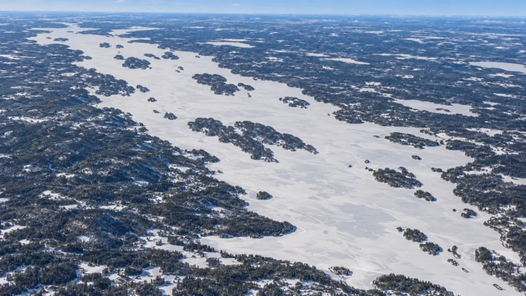
Lake Pielinen Freeze
Usually Fully Freezes
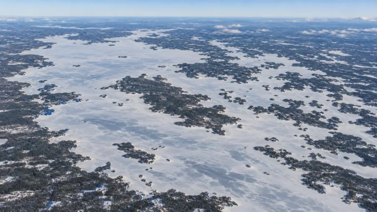
Lake Oulujärvi Freeze
Usually Fully Freezes
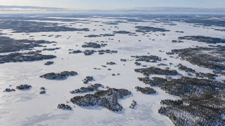
Lake Inari Freeze
Usually Fully Freezes
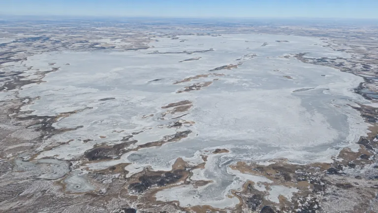
Lake Chany Freeze
Usually Fully Freezes

Lake Onega Freeze
Usually Fully Freezes

Lake Ladoga Freeze
Usually Fully Freezes