
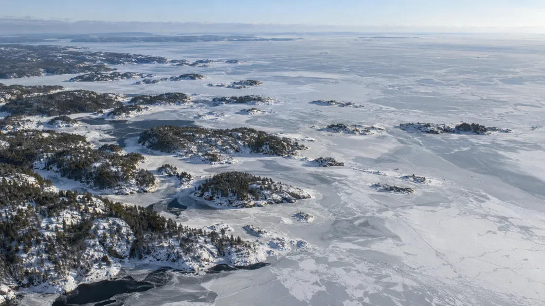
Seasonal ice every winter; lake-wide freeze-over is variable.
Peer ReviewedKaretnikov, Leppäranta & Montonen (2017) — A time series of over 100 years of ice seasons on Lake LadogaKaretnikov (2021) — Manifestation of climatic change in the ice phenology of Lake Ladoga over the past 55 yearsKaretnikov & Naumenko (2008) — Recent trends in Lake Ladoga ice coverKaretnikov & Naumenko (2011) — Lake Ladoga ice phenology: Mean condition and extremes during the last 65 yearsWorld Lake Database — Lake LadogaEvidence: HighShallow southern bays cool quickly, while deep central and northern water retains heat longer; wind can keep floating ice mobile and leave or reopen central areas during milder winters.
Where Is Lake Ladoga?
Russia
Lake Ladoga on the Globe
Rotate the world or focus directly on the lake.
Measured Ice and Freeze Data
Freeze and Ice Cover Through the Year
Month-level states are shown only when supported. Unclassified months remain explicitly marked.
Evidence Behind the Freeze Profile
The 1913–2015 synthesis reports complete freeze-over in about 83% of winters, while later monitoring shows that incomplete winters became much more common after the early 1990s.
Peer ReviewedKaretnikov, Leppäranta & Montonen (2017) — A time series of over 100 years of ice seasons on Lake LadogaKaretnikov (2021) — Manifestation of climatic change in the ice phenology of Lake Ladoga over the past 55 yearsEvidence: HighLong-term aircraft and satellite records distinguish first ice in late November, the much later approach to near-complete coverage, and final ice disappearance around mid-May.
Historical Monitoring RecordKaretnikov & Naumenko (2008) — Recent trends in Lake Ladoga ice coverKaretnikov & Naumenko (2011) — Lake Ladoga ice phenology: Mean condition and extremes during the last 65 yearsEvidence: HighMapped ice records place early formation in Petrokrepost Bay and other shallow areas, while deep western and northern water freezes later and can remain open during mild winters.
Peer ReviewedKaretnikov & Naumenko (2008) — Recent trends in Lake Ladoga ice coverWorld Lake Database — Lake LadogaEvidence: HighThe 1964–2019 comparison reports shorter ice-event duration, reduced fast-ice area and more winters with incomplete freeze-up, with the clearest change in the central part of Ladoga.
Peer ReviewedKaretnikov (2021) — Manifestation of climatic change in the ice phenology of Lake Ladoga over the past 55 yearsEvidence: HighPassive-microwave phenology products exclude a nearshore buffer to reduce land contamination, so they can miss early shoreline ice and should not be treated as identical to local ice-on observations.
Scientific DatasetCai et al. (2022) — A 41-year passive-microwave-derived lake ice phenology data record of the Northern HemisphereEvidence: HighSources
- Karetnikov, Leppäranta & Montonen (2017) — A time series of over 100 years of ice seasons on Lake Ladoga
- Karetnikov (2021) — Manifestation of climatic change in the ice phenology of Lake Ladoga over the past 55 years
- Karetnikov & Naumenko (2008) — Recent trends in Lake Ladoga ice cover
- Karetnikov & Naumenko (2011) — Lake Ladoga ice phenology: Mean condition and extremes during the last 65 years
- Cai et al. (2022) — A 41-year passive-microwave-derived lake ice phenology data record of the Northern Hemisphere
- DAHITI — Ladoga, Lake
- World Lake Database — Lake Ladoga
Lake Ladoga develops ice every winter, but a complete lid is not guaranteed. The shallow south normally freezes first, while deep central and northern water can remain open well into winter. In milder seasons, floating ice and open-water areas may persist instead of consolidating into stable lake-wide cover.
Why Petrokrepost Bay freezes before the deep north
Lake Ladoga has a strong depth contrast that is directly reflected in its winter pattern. Its shallow southern zone has a mean depth of about 13 meters, while the lake reaches roughly 230 meters in its deepest northern depressions. Shallow water has less stored summer heat to lose before reaching the freezing point, so the southern bays respond to cold weather sooner than the deep basin.
Long-term ice mapping places the first formation in shallow Petrokrepost Bay. Ice then develops in Volkhov and Svir bays and expands along the eastern side. The western shore and the deep northern sector are among the last parts to become ice-covered. In some mild winters the deepest open-water area never closes completely.
This spatial sequence is one reason a statement such as “Lake Ladoga froze in November” can be misleading. November describes the beginning of the lake’s ice season, not the date on which its entire surface becomes ice-covered.
A six-month ice season does not mean six months of complete cover
The distinction between first ice and full coverage is especially important on Ladoga. Monitoring from 1943–2006 found a mean first-ice date around late November, but the mean date for reaching the study’s 95% ice-cover threshold was in mid-February. The mean period at or above that threshold was only 34 days.
That contrast explains how Ladoga can have ice present for roughly half the year while spending far less time close to fully covered. Some winters in the historical record never reached the 95% threshold at all.
The wider 1913–2015 reconstruction found complete freeze-over in about 83% of winters across the full record. Yet the extremes were broad. In the 1943–2010 classification, five very cold seasons maintained complete cover for more than three months, while five very mild seasons never exceeded 70% maximum ice cover. Winter severity changes not just the timing of ice, but whether the deep lake closes at all.
Freeze-up is slower than the spring loss of ice
Lake Ladoga does not freeze and thaw as mirror-image processes. The long-term observations found that formation of the lake’s ice cover generally takes longer than its destruction. Ice has to progress outward from shallow regions toward water that has retained much more heat, so the advance toward maximum coverage can continue for much of the winter.
Breakup is more abrupt. Once spring heating begins, floating ice in the central lake can fracture and move under wind rather than retreat as a fixed line. Ice may be driven toward shore, while other areas open rapidly. A small fraction can move toward Petrokrepost Bay and the Neva outflow. This mobility helps explain why a late-winter image of Ladoga can show consolidated shore ice, drifting interior fields and open water at the same time.
The post-1990 change is most visible in the central lake
A 2021 analysis compared Ladoga’s ice behavior during 1964–1994 with conditions during 1993–2019. The later period had an average duration of ice phenomena about one month shorter than the preceding period. Winters with incomplete freeze-up rose from roughly two to six per decade.
The same study found a large reduction in the area occupied by fast ice: fixed ice attached to the shore or otherwise held in place. Its characteristic coverage fell from about 80% of the lake in the earlier period to about 30% in the later one. Fast ice is not the same measurement as total ice concentration, because floating ice can occupy water beyond the fixed-ice zone.
The change was strongest in the central part of Ladoga. That fits the lake’s physical structure: the deep central water already requires more accumulated winter cooling before stable coverage can develop, so it is the part most prone to remaining open when the cold season is shorter.
Why different Ladoga ice dates can all be correct
Several monitoring definitions appear in the scientific record. First ice marks the start of seasonal formation somewhere on the lake. A 95% coverage date describes a nearly lake-wide state. Final ice-off occurs much later, after the remaining spring ice has disappeared. Treating any one of these as a generic “freeze date” removes much of the information that makes Ladoga unusual.
Observation method matters as well. Historical Ladoga records combine aircraft surveys, satellite imagery and earlier Finnish ice information. Modern passive-microwave studies can track the lake consistently across many years, but some methods deliberately exclude pixels close to shore to reduce contamination from land. Because nearshore water is often the first part of Ladoga to freeze, a satellite-derived lake-wide freeze-up date can therefore be later than a shoreline observation.
For Lake Ladoga, the most useful winter description is consequently a sequence: early bay ice, months of expanding and mobile cover, a winter-dependent chance of full closure, then a relatively fast breakup that can leave remnants into May.
Similar Lakes by Freeze Pattern
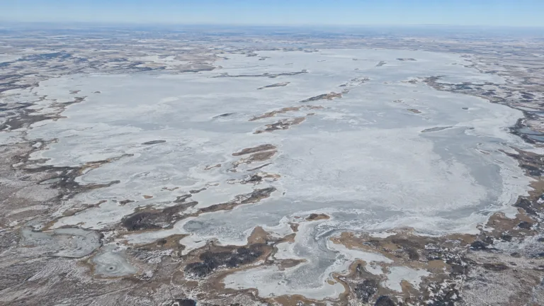
Lake Chany Freeze
Usually Fully Freezes

Lake Onega Freeze
Usually Fully Freezes
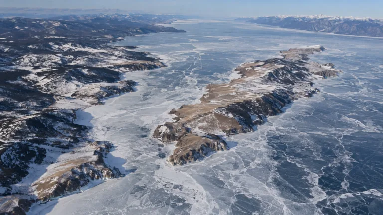
Lake Baikal Freeze
Usually Fully Freezes
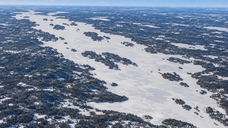
Lake Pielinen Freeze
Usually Fully Freezes
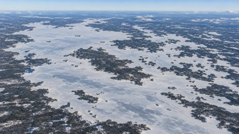
Lake Oulujärvi Freeze
Usually Fully Freezes
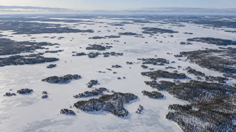
Lake Inari Freeze
Usually Fully Freezes