
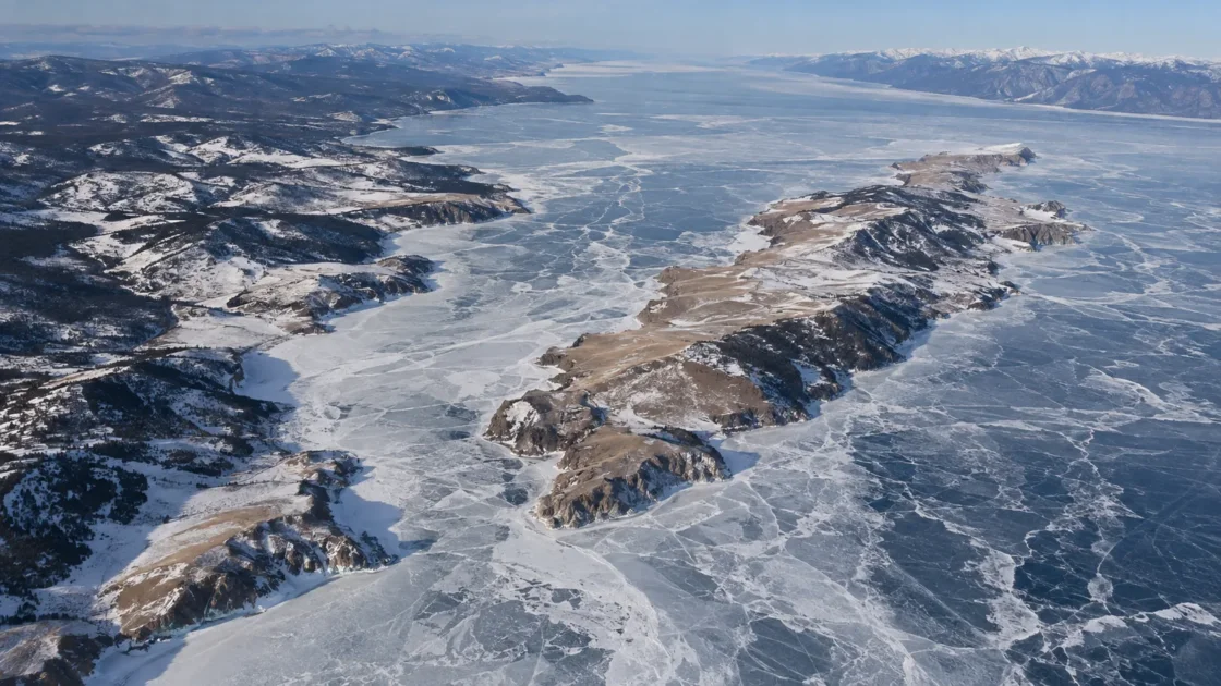
Annual near-complete seasonal ice cover; the Angara outflow stays locally open
Peer-Reviewed Ice-Regime AnalysisThe Influence of Atmospheric Circulation on the Ice Regime of Lake Baikal — Geography and Natural Resources (2026)Observations of Lake Baikal Ice from Satellite Altimetry and Radiometry — Remote Sensing of EnvironmentLake Baikal Ice: Analysis of AVHRR Imagery and Simulation of Under-Ice Phytoplankton BloomEvidence: HighSevere continental winter cooling produces annual ice, while basin depth, water circulation and atmospheric patterns stagger freeze-up and breakup across the north, middle and south.
Where Is Lake Baikal?
Russia
Lake Baikal on the Globe
Rotate the world or focus directly on the lake.
Measured Ice and Freeze Data
Freeze and Ice Cover Through the Year
Month-level states are shown only when supported. Unclassified months remain explicitly marked.
Evidence Behind the Freeze Profile
Peer-reviewed satellite studies describe recurring complete seasonal ice over the main lake, while AVHRR analysis identifies the Angara outflow as a persistent local open-water exception.
Peer ReviewedObservations of Lake Baikal Ice from Satellite Altimetry and Radiometry — Remote Sensing of EnvironmentLake Baikal Ice: Analysis of AVHRR Imagery and Simulation of Under-Ice Phytoplankton BloomEvidence: HighRemote-sensing and historical analyses show earlier freeze-up in the north and earlier spring opening in the south, so a single lake-wide date can hide weeks of spatial difference.
Peer ReviewedObservations of Lake Baikal Ice from Satellite Altimetry and Radiometry — Remote Sensing of EnvironmentLake Baikal Ice: Analysis of AVHRR Imagery and Simulation of Under-Ice Phytoplankton BloomEvidence: HighA 2026 multi-basin study reports a 19-day reduction over roughly seven decades, with later freeze-up and earlier breakup since the mid-1970s.
Peer ReviewedThe Influence of Atmospheric Circulation on the Ice Regime of Lake Baikal — Geography and Natural Resources (2026)Evidence: HighThe long observational series uses a specific visual definition: ice-on is complete observed cover and ice-off is recorded when more than 1% open water is present.
Scientific DatasetLong-term Ice Phenology Records Spanning up to 578 Years for 78 Lakes around the Northern Hemisphere — Scientific DataEvidence: HighLimnological Institute observations reported very early melt in South Baikal by early May while North Baikal still retained ice at the end of May.
Research Institute Field ObservationLimnological Institute SB RAS — Expedition on the RV Papanin, June 1–12, 2026Evidence: HighSources
- The Influence of Atmospheric Circulation on the Ice Regime of Lake Baikal — Geography and Natural Resources (2026)
- Observations of Lake Baikal Ice from Satellite Altimetry and Radiometry — Remote Sensing of Environment
- Long-term Ice Phenology Records Spanning up to 578 Years for 78 Lakes around the Northern Hemisphere — Scientific Data
- Large-Scale Climatic Controls on Lake Baikal Ice Cover — Journal of Climate
- Limnological Institute SB RAS — Expedition on the RV Papanin, June 1–12, 2026
- UNESCO World Heritage Centre — Lake Baikal Maps
- Lake Baikal Ice: Analysis of AVHRR Imagery and Simulation of Under-Ice Phytoplankton Bloom
Lake Baikal develops a continuous winter ice cover across nearly all of its main surface each year, but it does not freeze as one synchronized sheet. Northern areas generally close first, the southern basin follows, and spring opening proceeds in the opposite direction. The Angara River outflow is the main local exception, remaining open while the rest of the lake is under seasonal ice.
Why Baikal does not freeze all at once
Baikal is divided into northern, middle and southern basins, and their physical settings are not alike. The middle basin reaches about 1,642 meters in depth, while much of the northern basin is shallower than 900 meters. Those contrasts affect water circulation and the amount of heat that must be lost before stable surface ice can persist.
Severe continental cold eventually produces continuous seasonal ice, yet the timing still varies across the lake. Satellite-based work has separated first ice, stable ice cover, first open water and complete ice disappearance rather than treating “freeze” as a single event. That distinction is especially useful on Baikal, where a date observed in one basin may not describe another basin on the same day.
The Angara outflow is the persistent winter exception
Older AVHRR satellite analysis found that ice formation normally begins in northern Baikal and reaches the western side of the southern basin later. The Angara outflow and its upper reaches remain unfrozen through winter. This is a local hydrodynamic exception to Baikal’s otherwise recurring seasonal freeze, not evidence that broad areas of the main lake normally stay open all winter.
What the Listvyanka ice record actually measures
Lake Baikal has one of the better-known long ice records in Eurasia, but its definitions matter. A 2022 data descriptor reports that observations at Listvyanka are made from a fixed shoreline location, with ice coverage judged visually. In that series, ice-on is recorded when the observed lake surface is completely covered, while ice-off is recorded once more than 1% open water is present.
Published historical analyses extend the Listvyanka series back to 1869, while the newer data descriptor places the organized phenology record at 1896 and notes that early values were assembled from historical sources. The 1869–1996 analysis found a mean formation date of January 10, a mean breakup date of May 4 and an average ice duration of 113.9 days. Those values are best read as a long, consistently defined Listvyanka record rather than universal dates for every part of Baikal.
A shorter long-term ice season, with shorter-period reversals
A 2026 study covering 1952–2025 found that Baikal’s ice-cover period decreased by 19 days over roughly seven decades. Since the mid-1970s, freeze-up shifted from around the end of December and beginning of January toward the end of January, while breakup shifted from mid- or late May toward early May and late April. The 2025 season was the shortest ice-cover period in that study.
A shorter satellite record gives a useful caution against assuming that every decade moves in the same direction. Analysis of 1992–2004 satellite data found earlier ice formation and later breakup over that interval, producing a tendency toward longer fast-ice duration. The two results cover different periods and use different spatial observations. Baikal’s long-term change therefore sits on top of strong year-to-year and decade-to-decade variability.
Spring 2026 showed how far apart the basins can be
Field observations from the Limnological Institute of the Siberian Branch of the Russian Academy of Sciences recorded a markedly uneven spring in 2026. South Baikal had lost its ice by early May, yet North Baikal still retained ice at the end of May. That season shows why “Lake Baikal ice-off” needs a geographic definition: it can mean a shoreline observation, a basin-scale opening, or complete disappearance of ice from the lake.
Similar Lakes by Freeze Pattern
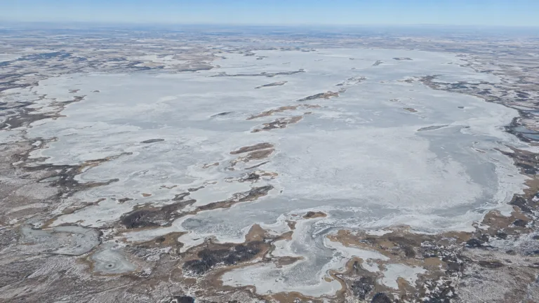
Lake Chany Freeze
Usually Fully Freezes

Lake Onega Freeze
Usually Fully Freezes

Lake Ladoga Freeze
Usually Fully Freezes
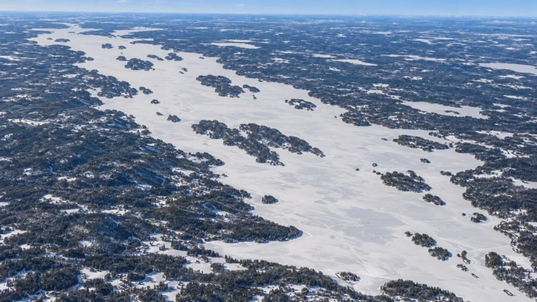
Lake Pielinen Freeze
Usually Fully Freezes
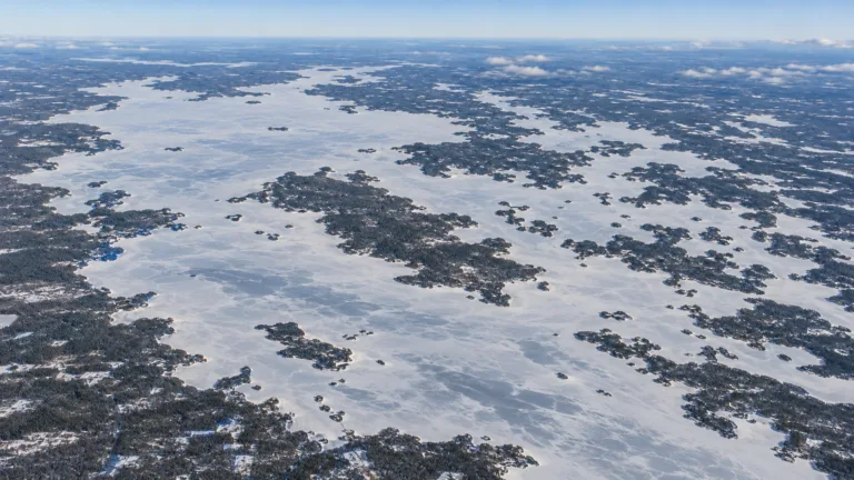
Lake Oulujärvi Freeze
Usually Fully Freezes
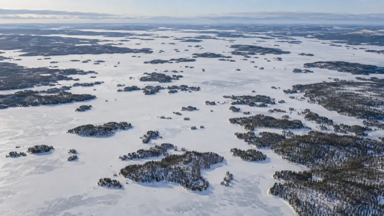
Lake Inari Freeze
Usually Fully Freezes