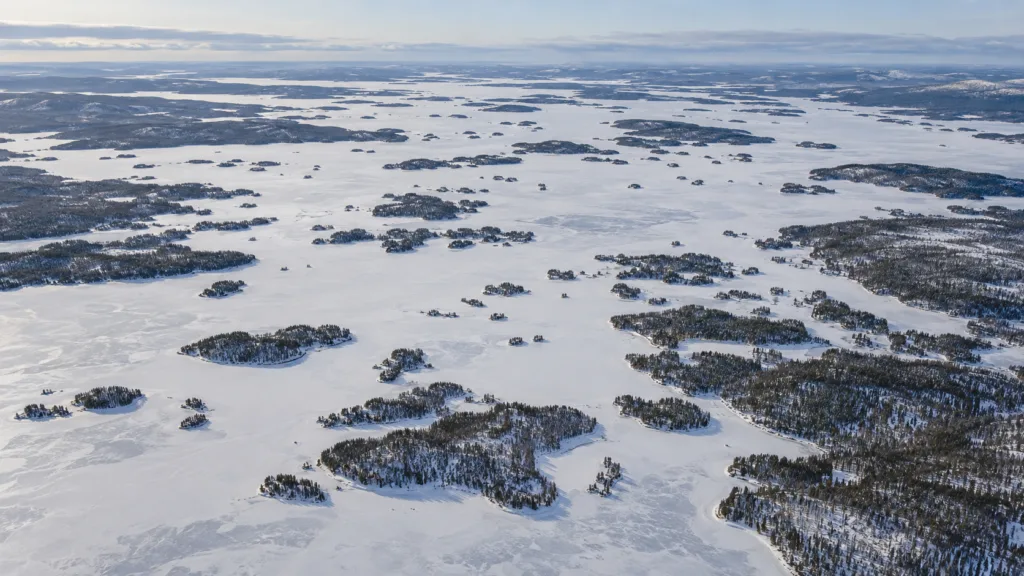
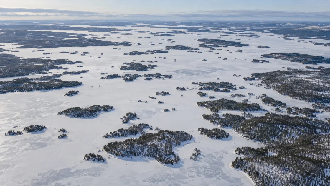
Seasonal extensive ice cover with later freeze-up on the large open-water basins
Syke Monitoring and Peer Reviewed AnalysisFinnish Environment Institute (Syke) — Järvi-meriwiki: InarijärviTurunen et al. (2025), Regional Environmental Change — Lake Inari long-term monitoring analysisEvidence: HighShallow sheltered bays cool and freeze first, while the lake's larger and deeper open-water basins retain and mix heat longer, delaying ice formation.
Where Is Lake Inari?
Lapland · Finland
Lake Inari on the Globe
Rotate the world or focus directly on the lake.
Measured Ice and Freeze Data
Freeze and Ice Cover Through the Year
Month-level states are shown only when supported. Unclassified months remain explicitly marked.
Evidence Behind the Freeze Profile
Syke records Nellim and the large open-water areas as distinct observation series; the open-water areas freeze later and can also retain ice later in spring.
Syke Historical Monitoring RecordFinnish Environment Institute (Syke) — Järvi-meriwiki: InarijärviEvidence: HighOpen-water freeze observations range from early November to early January in the published extremes, while open-water breakup extremes span late May to late June. These are record bounds, not normal dates.
Syke Historical Monitoring RecordFinnish Environment Institute (Syke) — Järvi-meriwiki: InarijärviEvidence: HighA 2025 peer-reviewed analysis of Syke observations reports breakup moving earlier by about one day per 14 years on average; no statistically detectable freeze-up trend was found.
Peer Reviewed Analysis of Syke MonitoringTurunen et al. (2025), Regional Environmental Change — Lake Inari long-term monitoring analysisEvidence: HighSyke's Paksuvuono thickness station is in a sheltered area near Nellim rather than on Lake Inari's largest open-water reaches.
Syke Monitoring MetadataFinnish Environment Institute (Syke) — Järvi-meriwiki: InarijärviEvidence: HighSources
Lake Inari develops extensive seasonal ice cover, but its freeze-up is spatially staggered. Sheltered, shallow bays can lock up weeks before the major open-water basins, and the spring sequence is similarly uneven. Long-term observations also show that breakup has been moving earlier even though autumn freeze dates remain highly variable.
Why Nellim can freeze well before the open lake
Lake Inari is too large and physically varied for one shoreline observation to describe the whole surface. The lake covers about 1,082 square kilometres, contains thousands of islands, reaches 92 metres at its deepest point and has a mean depth of 14.3 metres. Its broad open basins sit alongside narrow channels and sheltered, fjord-like bays.
Nellim illustrates the contrast. The water-temperature station there is in Nellimvuono, a sheltered arm less than six metres deep. Such shallow water can shed stored heat quickly during cold, calm weather. The larger open basins retain more heat and remain exposed to wind-driven mixing, so their final freeze-up can lag behind the protected bays. The 2025 Lake Inari study describes the same spatial sequence directly: shallow bays form ice first, while the large open-water areas are the last to freeze.
The historical record is a range, not a fixed freeze date
The separate observation series show how large that lag can become. At Nellim, the earliest published freeze date is 9 October, recorded in both 1960 and 1976, while the latest is 9 December 2000. For the large open-water areas, the published extremes run from 1 November 1993 to 7 January 2007.
Spring has the same spatial distinction. Nellim has opened as early as 7 May and as late as 13 June in the published record. The large open-water areas have ranged from 19 May to 29 June. These dates are historical extremes, not climatological normals. Their value is in showing how much the timing can move between years and how misleading a single “Lake Inari freeze date” can be.
Breakup is shifting earlier, while freeze-up remains noisy
A 2025 peer-reviewed analysis used Syke observations of freezing and breakup in Lake Inari’s large open-water areas. The breakup series shows an average shift of about one day earlier per 14 years, with a reported p-value of 0.05. The freeze-up series has larger year-to-year variation and did not show a statistically detectable trend.
This asymmetry matters. A longer open-water season at Lake Inari is being expressed more clearly through earlier spring breakup than through a steady march toward later autumn freeze-up. Individual winters can still depart sharply from the long-term direction, which is why the trend should not be converted into a predicted freeze or ice-off date for a particular year.
Ice thickness records do not represent the whole lake
Lake Inari has valuable long-running thickness measurements, but their geographic scope is narrower than the lake’s name suggests. The Nellim series comes from a sheltered bay. The Paksuvuono station is also fairly close to Nellim, and Syke’s lake record explicitly notes that it is not located on the major open-water reaches.
That distinction is important when reading the thickness cards. They describe repeated measurements at defined observation points and are useful for comparing winters at those locations. They should not be interpreted as a surface-wide mean for the lake’s many basins, narrows and current-affected areas.
The observation record has more than one starting point
Syke’s Järvi-meriwiki record states that freeze and breakup observations at Nellim extend back to winter 1936–1937 and that the open-water series begins in winter 1922–1923. The 2025 analysis describes the freezing and breakup observations used in that study as beginning in 1925. The practical lesson is that the record length depends on the specific observation series or analysis being cited; century-scale claims should identify which series they refer to.
Similar Lakes by Freeze Pattern
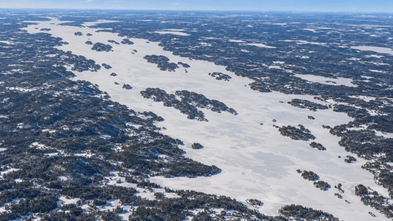
Lake Pielinen Freeze
Usually Fully Freezes
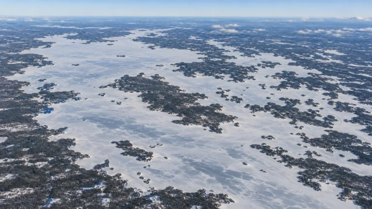
Lake Oulujärvi Freeze
Usually Fully Freezes
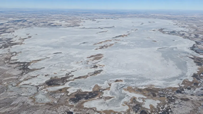
Lake Chany Freeze
Usually Fully Freezes

Lake Onega Freeze
Usually Fully Freezes

Lake Ladoga Freeze
Usually Fully Freezes
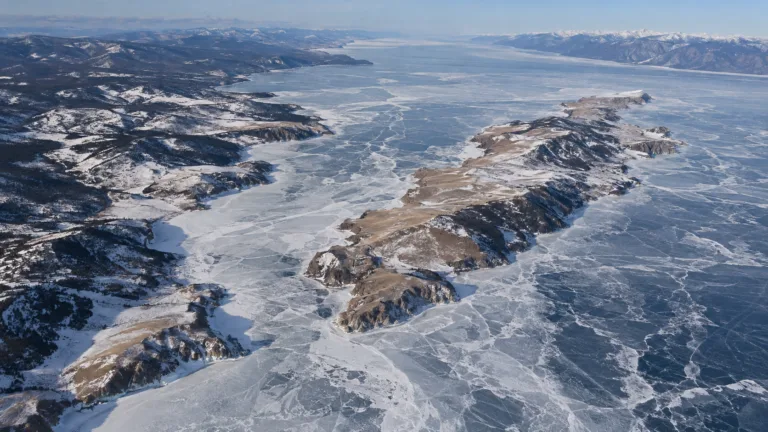
Lake Baikal Freeze
Usually Fully Freezes