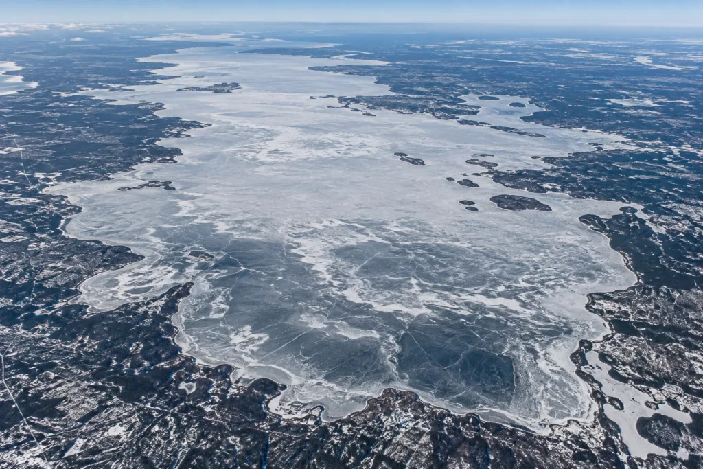
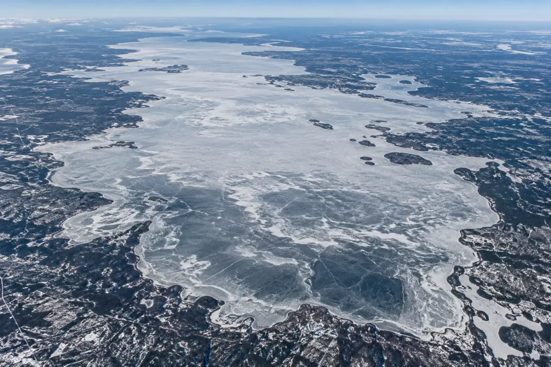
Regular complete seasonal ice cover; spring breakup is later in the north basin
Official MonitoringState of Lake Winnipeg: 1999 to 2007Manitoba Environment and Climate Change — Lake WinnipegEvidence: HighCold winters produce lake-wide seasonal ice. The lake is shallow and usually well mixed, while the deeper north basin loses its spring ice later than the south basin.
Where Is Lake Winnipeg?
Manitoba · Canada
Lake Winnipeg on the Globe
Rotate the world or focus directly on the lake.
Measured Ice and Freeze Data
Freeze and Ice Cover Through the Year
Month-level states are shown only when supported. Unclassified months remain explicitly marked.
Evidence Behind the Freeze Profile
South-basin observer records reached complete ice cover in early winter, while satellite observations show the north and south basins freezing within only a few days of each other.
Official MonitoringState of Lake Winnipeg: 1999 to 2007Evidence: HighSatellite observations from 1983–2009 show a slower breakup in the north basin, where the process commonly spans two to three weeks rather than one to two weeks in the south basin.
Official Satellite AnalysisState of Lake Winnipeg: 1999 to 2007Evidence: HighProvincial data describe a shallow south basin averaging about 9 m and a deeper north basin averaging 13.3 m, with the lake generally remaining well mixed.
Government Lake DataManitoba Environment and Climate Change — Lake WinnipegEvidence: HighPeer-reviewed passive-microwave research treats freeze-up start, freeze-up end, breakup start and breakup end as separate events and includes Lake Winnipeg in a 1979–2018 phenology record.
Peer ReviewedVariation in Ice Phenology of Large Lakes over the Northern Hemisphere Based on Passive Microwave Remote Sensing DataEvidence: HighSources
Lake Winnipeg normally develops complete seasonal ice cover, but its north and south basins do not shed that ice at the same pace. Autumn freezing is closely synchronized across the lake; spring breakup stretches longer in the deeper north basin, so a single “ice-off date” can hide a multi-week spatial transition.
Why spring breakup separates the north and south basins
Lake Winnipeg is one lake, but its basin shape creates two different spring responses. The south basin averages about 9 m deep, while the larger north basin averages about 13.3 m. Provincial monitoring also describes the lake as generally shallow and well mixed, with bottom-water temperatures often close to surface temperatures.
The spring ice record shows the practical result of that contrast. Satellite observations found that breakup in the north basin commonly took two to three weeks, compared with one to two weeks in the south basin. The north basin was, on average, only about half clear of ice by May 19 in the 1983–2008 record, roughly two weeks behind the south basin. Individual shorelines and bays can clear earlier or later than those basin-scale observations.
Freeze-up is much more synchronized than breakup
Late in the open-water season, surface temperatures in the two basins converge as the shallow south basin cools quickly. Once autumn cooling reaches the freeze-up range, the north and south basins tend to gain ice within a narrow interval despite their different depths.
MODIS observations from 2001–2008 showed that the north-basin mid-freeze date was never more than five days later than the south-basin date, with a mean difference of less than two days. The same report places the broader freeze-up process between mid-November and mid-December. Cloud and fog limited some autumn satellite observations, so those dates are best read as a seasonal window rather than a fixed annual deadline.
What the 180-day ice-free record actually measures
The long observer record at Gimli uses more than one seasonal boundary. From 1946–1991, the south basin averaged 220 days between the first spring melt and complete ice cover in early winter. The same record gives only 180 days when the basin was completely free of ice.
Those measures are different because breakup and freeze-up are processes, not single moments. During spring, some ice can remain after melting has begun. During autumn, new ice can be present before the basin becomes fully covered. Treating “first melt,” “fully ice-free,” “first ice,” and “complete ice cover” as interchangeable would erase those transition periods.
Why one freeze date can change with the observing method
Lake Winnipeg has been tracked with weather-observer records, AVHRR and MODIS imagery, and passive-microwave remote sensing. These methods do not always define the same seasonal event. Peer-reviewed microwave work that includes Lake Winnipeg separates freeze-up start from freeze-up end, and breakup start from breakup end, rather than reducing the season to one date.
That distinction matters on a lake more than 400 km long. An observer near the south basin, an optical satellite image with cloud gaps, and a microwave retrieval over the lake can each identify a defensible ice event while still producing different dates. The most useful interpretation is therefore tied to the stated definition and spatial coverage of the measurement.
How Lake Winnipeg’s shallow form shapes its winter cycle
Lake Winnipeg averages about 12 m deep overall and is shallow for a lake of its area. Its water column is usually mixed through much of the open-water season instead of storing a large, persistent deep layer of warm water. That physical setting helps the lake respond strongly to the long cold season and supports widespread winter ice formation.
The north basin still behaves differently enough to matter. Its greater mean depth and more northerly position are consistent with later spring warming and longer-lasting breakup, while autumn freeze-up remains surprisingly close to the timing in the shallower south basin. The result is a winter cycle in which lake-wide freezing is regular, but spring ice loss is spatially uneven.
Similar Lakes by Freeze Pattern
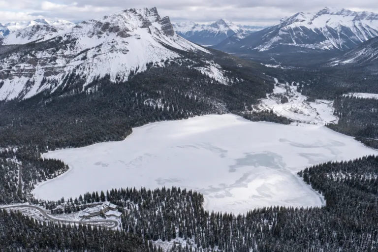
Emerald Lake Freeze
Usually Fully Freezes
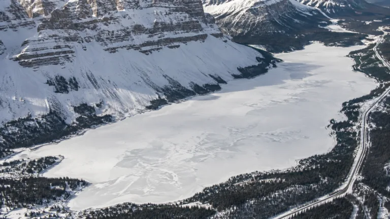
Bow Lake Freeze
Usually Fully Freezes
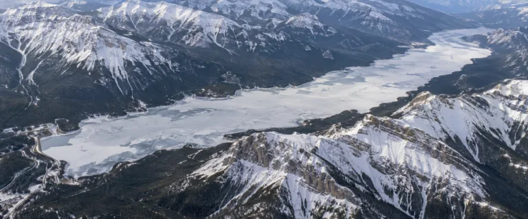
Lake Minnewanka Freeze
Usually Fully Freezes
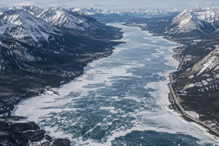
Abraham Lake Freeze
Usually Fully Freezes
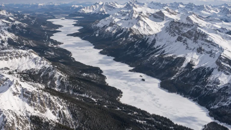
Maligne Lake Freeze
Usually Fully Freezes
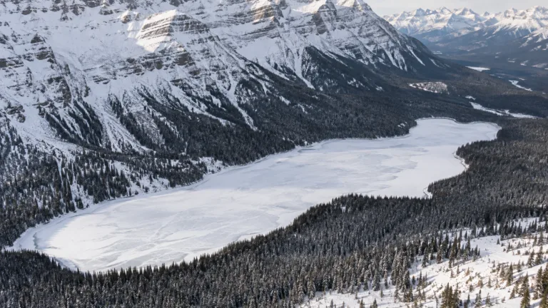
Peyto Lake Freeze
Usually Fully Freezes