
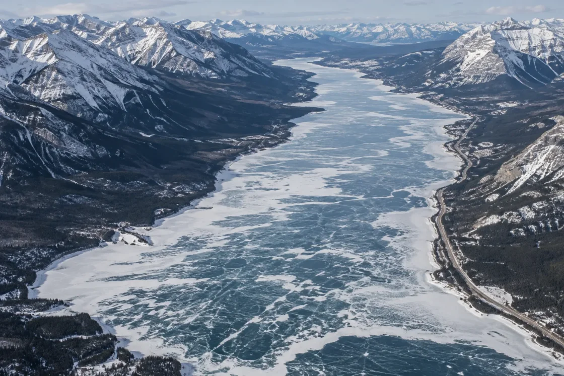
Seasonal extensive ice with uneven freeze-up across a hydroelectric reservoir
Government, operator, official tourism and local seasonal observationsTransAlta — Bighorn Hydro FacilityGovernment of Alberta — Bighorn Backcountry Abraham Lake Vehicle RestrictionTravel Alberta — Abraham LakeTravel Alberta — Natural AttractionsTravel Alberta — Explore Nordegg in Winter: Ice Bubbles & BeyondCanadian Rockies Escapes — Abraham Lake Ice Report, December 22, 2025Evidence: ModerateWinter cooling builds surface ice, while strong wind, North Saskatchewan River inflow and hydroelectric reservoir-level changes can keep local areas open longer and alter the ice as water levels change.
Where Is Abraham Lake?
Alberta · Canada
Abraham Lake on the Globe
Rotate the world or focus directly on the lake.
Measured Ice and Freeze Data
Evidence Behind the Freeze Profile
Official Alberta tourism information places the main frozen-bubble season from about mid-December through February, while a December 22, 2025 field report still documented open water in part of the reservoir during ongoing freeze-up.
Official Seasonal Information and Field ObservationTravel Alberta — Natural AttractionsCanadian Rockies Escapes — Abraham Lake Ice Report, December 22, 2025Evidence: ModerateAlberta describes Abraham Lake as a reservoir with large water-level fluctuations, and Clearwater County reports that lake level can vary by as much as 100 feet over the course of a year.
Government and Local Government RecordsGovernment of Alberta — Bighorn Backcountry Abraham Lake Vehicle RestrictionClearwater County — Development NodesEvidence: HighTravel Alberta describes methane produced as bacteria break down submerged plant matter, with rising gas bubbles becoming trapped in winter ice.
Official Tourism InformationTravel Alberta — Abraham LakeTravel Alberta — Explore Nordegg in Winter: Ice Bubbles & BeyondEvidence: ModerateDuring freeze-up on December 22, 2025, a local field report described well-developed ice at Preacher's Point while large areas of open water remained east of the Ice Bubbles Viewpoint.
Local Seasonal ObservationCanadian Rockies Escapes — Abraham Lake Ice Report, December 22, 2025Evidence: ModerateSources
- Natural Resources Canada — Canadian Geographical Names Database
- TransAlta — Bighorn Hydro Facility
- Government of Alberta — Bighorn Backcountry Abraham Lake Vehicle Restriction
- Clearwater County — Development Nodes
- Travel Alberta — Abraham Lake
- Travel Alberta — Natural Attractions
- Travel Alberta — Explore Nordegg in Winter: Ice Bubbles & Beyond
- Canadian Rockies Escapes — Abraham Lake Ice Report, December 22, 2025
Abraham Lake develops extensive winter ice, but its freeze-up should not be treated as one lake-wide event on one date. The lake is an active hydroelectric reservoir, so winter cold acts together with wind, river inflow and large changes in water level. The famous methane bubbles become trapped while that ice is forming; they do not cause the lake to freeze.
Why reservoir operation matters after the surface starts freezing
Abraham Lake was created by the Bighorn hydro development on the North Saskatchewan River. That distinction matters during winter. A natural lake with a relatively stable level can build ice over a water surface that changes slowly, whereas Abraham Lake continues to respond to reservoir operations and changing inflow after freeze-up has begun.
The seasonal change in level is large. Clearwater County states that the lake can vary by as much as 100 feet over the course of a year, while the Government of Alberta describes water levels around Abraham Lake as fluctuating dramatically. Ice therefore develops over a reservoir whose shoreline position and water surface are not fixed throughout the season.
Cold air may produce broad ice cover while reservoir movement, currents and exposed locations continue to create local differences. A description such as “Abraham Lake is frozen” can therefore hide a more complicated spatial pattern.
The methane bubbles form inside the freeze process
The white discs and stacked bubble formations associated with Abraham Lake are pockets of methane. Plant material submerged when the reservoir was created provides organic matter that can be broken down by microorganisms on the lake bed. Methane produced during decomposition rises through the water as bubbles.
Once surface ice begins forming, some of those rising bubbles encounter the freezing layer instead of escaping directly to the atmosphere. Continued ice growth can capture later bubbles at different depths, producing the layered formations visible through clear ice.
Bubble formation and ice extent are different observations. A patch of visible bubbles confirms that methane was trapped during freezing at that location; it does not establish that the entire reservoir froze at the same time or to the same degree. Wind also affects what can be seen by moving snow from exposed sections of the lake, making clear ice more visible without being the source of the methane itself.
Freeze-up advances unevenly across Abraham Lake
The winter transition is not synchronized from shore to shore. Air temperature controls how quickly heat is lost, but local currents, river inflow and wind exposure can delay ice formation in one area while another section already has established cover.
The December 22, 2025 season provides a useful example. A field report described Abraham Lake as being in the early stages of broader freeze-up, yet large areas of open water still remained east of the Ice Bubbles Viewpoint while ice at Preacher’s Point was much more developed. That contrast belongs to one particular winter rather than a long-term average, but it shows why a single observation point cannot automatically represent the entire reservoir.
What the December-to-February window actually represents
Travel Alberta places the main Abraham Lake ice-bubble season at roughly mid-December through the end of February. That period is useful for describing when winter ice and trapped bubbles are commonly present, but it should not be read as a formal climatological ice-on and ice-off record.
Freeze-up can continue after the first ice appears, and the timing of broad coverage shifts with winter weather. Snow can hide otherwise clear bubble ice, strong winds can expose it again, and warmer intervals can change cracks and surface texture without immediately removing all lake ice.
For the same reason, assigning one fixed breakup date would give a false sense of precision. Abraham Lake is better described by a seasonal transition: freeze-up develops through early winter, extensive cover dominates the colder part of the season, and spring warming progressively breaks down that cover at rates that differ from year to year and from place to place.
Why “fully frozen” needs qualification here
Abraham Lake can present the appearance of a continuous frozen landscape during cold periods, yet that appearance is not equivalent to a measured lake-wide ice concentration of 100 percent. River-connected areas, locally moving water and reservoir operations can preserve openings or create changing ice conditions while most of the visible basin is frozen.
For a freeze profile, extensive seasonal ice is therefore a more defensible description than assuming a uniform full freeze every winter. The most distinctive part of Abraham Lake’s winter cycle is not simply that ice forms, but that ice formation occurs on a large working reservoir where water level, wind, inflow and methane ebullition all leave visible marks on the frozen surface.
Similar Lakes by Freeze Pattern
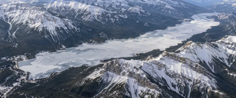
Lake Minnewanka Freeze
Usually Fully Freezes
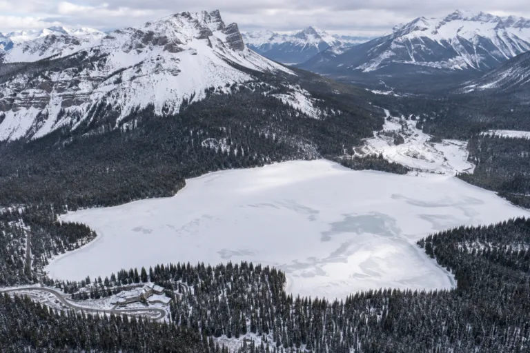
Emerald Lake Freeze
Usually Fully Freezes
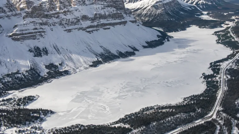
Bow Lake Freeze
Usually Fully Freezes
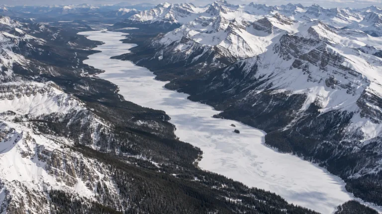
Maligne Lake Freeze
Usually Fully Freezes
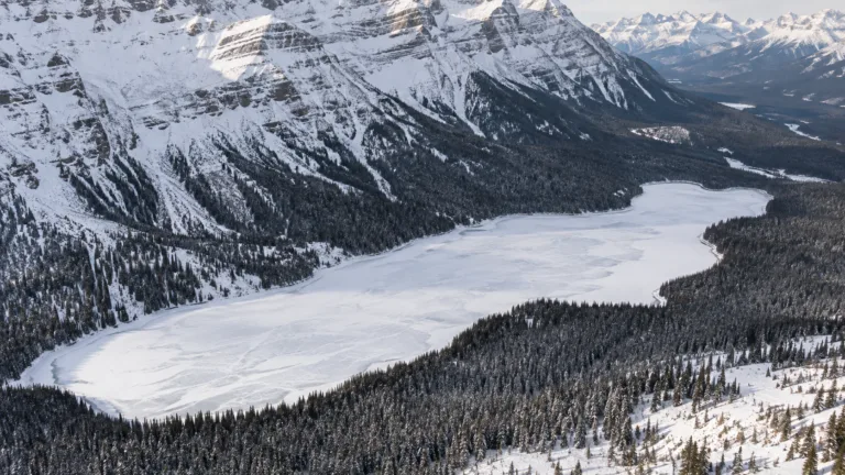
Peyto Lake Freeze
Usually Fully Freezes

Moraine Lake Freeze
Usually Fully Freezes