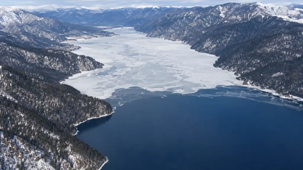
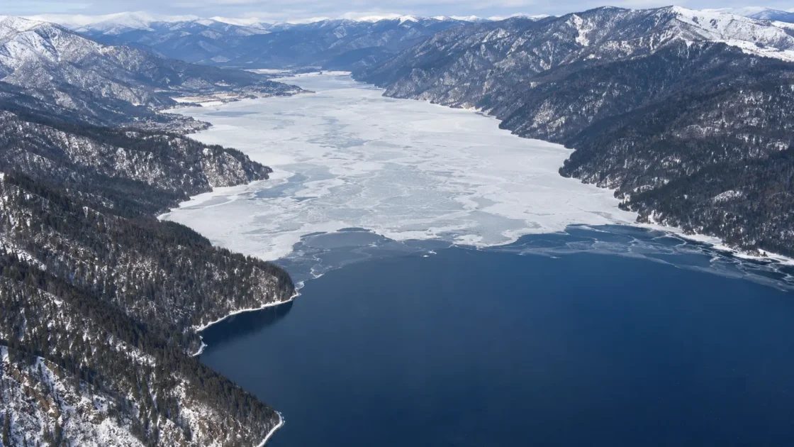
Seasonal ice forms every winter, but whole-lake freeze-over is intermittent
Official Monitoring and Satellite AnalysisAltai State Nature Biosphere Reserve — Ice Formation on Lake TeletskoyeRoshydromet — Formation of Ice on Lake TeletskoyeAltai State Nature Biosphere Reserve — Retreating Ice of Lake TeletskoyeSuslin et al. — Long-Term Variability of Lake Teletskoe Ice Cover Based on Landsat MeasurementsEvidence: HighShallow northwestern water loses heat first, while the deep meridional basin stores heat and persistent winter winds can disrupt continuous ice; sustained cold with low wind allows ice to advance farther south.
Where Is Lake Teletskoye?
Altai Republic · Russia
Lake Teletskoye on the Globe
Rotate the world or focus directly on the lake.
Measured Ice and Freeze Data
Freeze and Ice Cover Through the Year
Month-level states are shown only when supported. Unclassified months remain explicitly marked.
Evidence Behind the Freeze Profile
Reserve observations show recurrent northern ice but only occasional complete cover; Roshydromet confirmed a full freeze in 2018 after the previous satellite-confirmed event in 2010.
Official MonitoringAltai State Nature Biosphere Reserve — Ice Formation on Lake TeletskoyeRoshydromet — Formation of Ice on Lake TeletskoyeEvidence: HighThe reserve's historical summary places average breakup from early April to early May and describes retreat as generally reversing the freeze-up sequence.
Historical Monitoring RecordAltai State Nature Biosphere Reserve — Retreating Ice of Lake TeletskoyeEvidence: HighA local report citing the Altai reserve said ice covered the northern part and bays while much of the lake remained open; the final ice disappeared by April 29, 2026.
Reserve-Sourced Seasonal ReportNovosti Gornogo Altaya — Lake Teletskoye Completely Free of Ice, April 2026Evidence: ModerateThe Landsat analysis used 166 cloud-free scenes from 1989–2024, found the multi-year seasonal ice maximum in December–January, and reported non-monotonic interannual anomalies.
Satellite AnalysisSuslin et al. — Long-Term Variability of Lake Teletskoe Ice Cover Based on Landsat MeasurementsEvidence: HighA peer-reviewed study reported a 3.2 km ice ring in the southern lake above water as deep as about 275 m, linking the feature to an under-ice eddy.
Peer ReviewedKouraev et al. — Giant Ice Rings on Lakes and Lens-Like EddiesEvidence: HighSources
- Altai State Nature Biosphere Reserve — Ice Formation on Lake Teletskoye
- Roshydromet — Formation of Ice on Lake Teletskoye
- Altai State Nature Biosphere Reserve — Retreating Ice of Lake Teletskoye
- Suslin et al. — Long-Term Variability of Lake Teletskoe Ice Cover Based on Landsat Measurements
- Altai State Nature Biosphere Reserve — Road of Life
- Altai State Nature Biosphere Reserve — Maximum Ice Thickness on Lake Teletskoye
- Quaternary Research — Lake Teletskoye Study Site
- Kouraev et al. — Giant Ice Rings on Lakes and Lens-Like Eddies
- Novosti Gornogo Altaya — Lake Teletskoye Completely Free of Ice, April 2026
Lake Teletskoye develops winter ice every year, but it does not behave like a lake that reliably seals over from shore to shore. The shallow northwestern sector freezes first, while the long, deep meridional basin can remain open for much of winter. Complete freeze-over requires a sustained combination of cold weather and weak enough wind for newly formed ice to survive and connect across the lake. The 2025–26 winter followed the more common partial pattern: the north and bays froze, while much of the lake remained open.
The north can freeze while the deep basin stays open
Freeze-up normally begins around the Artybash end of the lake, where the northwestern water is shallower. Reserve observations place the usual establishment of ice there around late November to early December. Farther south, the basin becomes much deeper and the timing becomes less predictable. The lake can therefore contain stable ice, open water, slush, fractures and moving ice edges at the same time.
This spatial contrast is one reason a single phrase such as “Lake Teletskoye freezes in winter” is misleading. The northern sector may already have persistent cover while the deeper meridional part still has enough stored heat, wind-driven mixing and wave action to resist continuous ice.
Cold alone does not determine whether the whole lake freezes
The reserve describes a winter wind known locally as the verkhovka as an important control on ice formation. Persistent wind can break thin ice, reopen leads and prevent separate ice fields from joining. When cold conditions coincide with several relatively calm days, ice can advance farther down the lake.
Depth matters as well. Lake Teletskoye is a deep, cold-water lake, and the large water mass releases stored heat through autumn and winter. That does not prevent ice everywhere, but it helps explain why the deep sector reacts differently from the shallow northwest. Whole-lake freeze-over is therefore the outcome of both atmospheric conditions and the lake’s own thermal structure.
Full freeze-over is an event rather than the default winter state
An older monitoring summary reported complete freezing in 15 of the first 50 years of observation. More recent satellite-based monitoring also shows the episodic nature of full cover. Roshydromet reported complete ice cover in February 2018 and identified February 2010 as the previous satellite-observed whole-lake freeze.
The latest completed winter provides the opposite case. In 2025–26, ice was reported mainly in the northern part and in bays, while much of the surface remained open. The final remaining ice disappeared by April 29, 2026. A current-season observation like this should be read as one winter, not as a replacement for the longer record.
Freeze-up and breakup move through the lake in different stages
Ice formation is not a single lake-wide date. It begins in the northwestern shallows and may progress southward for weeks or months. Historical observations also describe breakup as a staged process that usually reverses the broad freeze sequence. Open water first expands around river mouths, capes and other places where currents, exposure or local heat flux weaken the ice.
The reserve’s historical summary places the average breakup interval from the first part of April into the first part of May, although the full range of observed breakup conditions extends from early March to the end of May. This long transition helps explain why a spring image from one shore can show open water while another sector still carries intact or drifting ice.
The Landsat record shows a seasonal pattern with large year-to-year shifts
A Landsat analysis covering observations from 1989 through 2024 used 166 cloud-free scenes from October through May. In the multi-year seasonal mean, the greatest ice coverage occurred in December–January. The study also found that the seasonal advance of ice was steeper than its spring retreat in the normalized surface-fraction series, with an approximate rate of 0.4 per month during October–December versus about 0.16 per month during January–May.
The interannual signal was not a simple one-direction trend. The authors described a warmer phase from roughly 1995 to 2005, followed by modest cooling from 2010 to 2024, together with a roughly five- to six-year oscillation in the anomaly series. Those results describe satellite-derived ice-cover variability; they should not be converted into a claim that every freeze date has shifted in the same direction.
Ice thickness and ice extent answer different questions
Historical material cited by the reserve gives ice thickness of about 30–40 cm in average-climate winters at observed ice-covered locations, with 70–102 cm reported during the severe 1968–69 winter. The 102 cm record is a thickness measurement, not evidence that the entire lake was covered by ice at that thickness. On Lake Teletskoye, surface extent and local thickness need to be kept separate because extensive open water can coexist with thick ice elsewhere.
The 2010 freeze produced a rare 3.2 km ice ring
One of the lake’s most distinctive documented ice events occurred during the full-freeze winter of 2010. A peer-reviewed study reported a circular ice feature about 3.2 km across in the southern part of the lake, above water reaching roughly 275 m depth. The researchers linked the ring to an under-ice eddy, placing Lake Teletskoye among the lakes where large ice rings have been associated with subsurface circulation rather than simple surface freezing alone.
The ring is best treated as an exceptional event, not part of the normal annual calendar. It illustrates why years with complete cover can reveal processes that are absent or much harder to observe during the lake’s more usual partial-ice winters.
Similar Lakes by Freeze Pattern
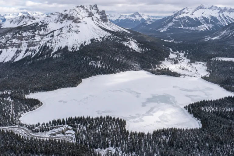
Emerald Lake Freeze
Usually Fully Freezes
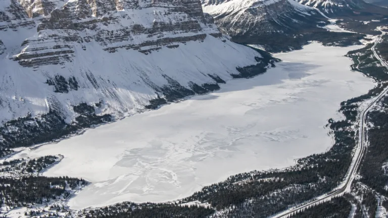
Bow Lake Freeze
Usually Fully Freezes
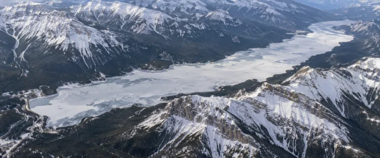
Lake Minnewanka Freeze
Usually Fully Freezes
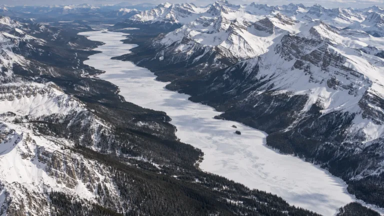
Maligne Lake Freeze
Usually Fully Freezes
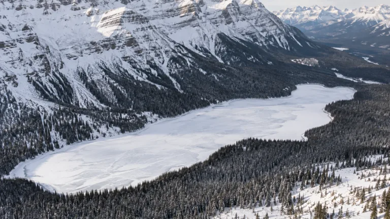
Peyto Lake Freeze
Usually Fully Freezes

Moraine Lake Freeze
Usually Fully Freezes