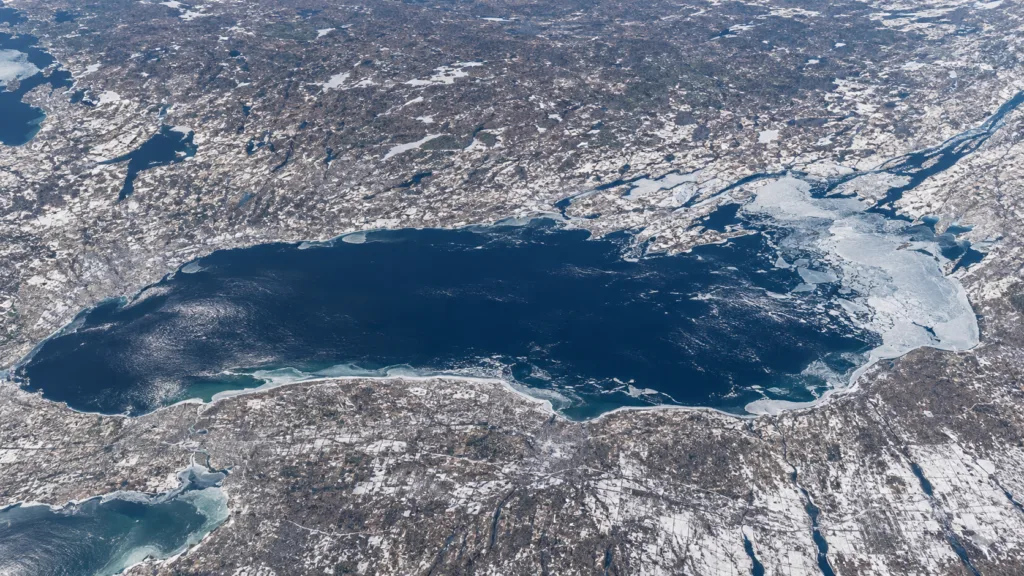
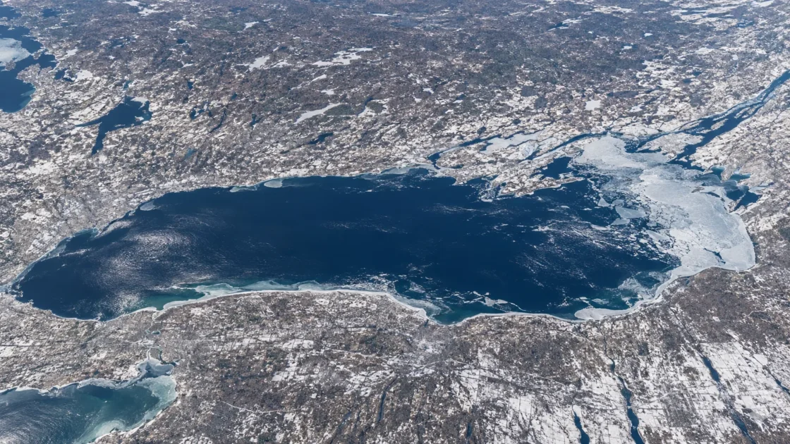
Seasonal ice is concentrated in bays, nearshore areas and the eastern end; most of the lake normally remains open.
Official Monitoring and Scientific ClimatologyCanadian Ice Service — Great Lakes Ice Climate Normals 1991–2020Canadian Coast Guard — Ice Climatology and Environmental ConditionsNOAA Great Lakes Environmental Research Laboratory — Ice CoverNOAA GLERL — Great Lakes Ice Climatology Update, 1973–2017Evidence: HighLake Ontario's deep water stores large amounts of heat, delaying widespread ice formation. Shallow, sheltered bays cool faster and are less exposed to the mixing that helps keep deeper open water ice-free.
Where Is Lake Ontario?
Ontario / New York · Canada / United States
Lake Ontario on the Globe
Rotate the world or focus directly on the lake.
Measured Ice and Freeze Data
Freeze and Ice Cover Through the Year
Month-level states are shown only when supported. Unclassified months remain explicitly marked.
Evidence Behind the Freeze Profile
Canadian Ice Service 1991–2020 normals place the median ice season from the end of December to early April, with the normal maximum coverage occurring in mid-February.
Official Climate NormalsCanadian Ice Service — Great Lakes Ice Climate Normals 1991–2020Evidence: HighNOAA's 1973–2017 Lake Ontario record lists annual maximum ice coverage ranging from 1.9% in 2012 to 86.2% in 1979.
NOAA Ice ClimatologyNOAA Great Lakes Environmental Research Laboratory — Ice CoverEvidence: HighCanadian Coast Guard climatology describes earlier ice formation in Bay of Quinte, protected bays and the eastern approaches to the St. Lawrence River than across the open lake.
Official Monitoring ClimatologyCanadian Coast Guard — Ice Climatology and Environmental ConditionsEvidence: HighNOAA's 1973–2017 analysis reports a downward linear trend of 0.25% per year in Lake Ontario annual mean ice cover.
Scientific ClimatologyNOAA GLERL — Great Lakes Ice Climatology Update, 1973–2017Evidence: HighSources
- Canadian Ice Service — Great Lakes Ice Climate Normals 1991–2020
- Canadian Coast Guard — Ice Climatology and Environmental Conditions
- NOAA Great Lakes Environmental Research Laboratory — Ice Cover
- NOAA GLERL — Great Lakes Ice Climatology Update, 1973–2017
- Canadian Geographical Names Database — Lake Ontario
- Canada Water Agency — Lake Ontario Drainage Basin
Lake Ontario develops winter ice every year, but a normal winter does not produce a lake-wide frozen surface. Ice is concentrated around shallow and sheltered water, particularly toward the eastern end, while much of the deep central lake remains open. That spatial difference is the defining feature of Lake Ontario’s freeze cycle.
Why does most of Lake Ontario resist freezing?
Lake Ontario is unusually difficult to cover with ice because a large volume of water must lose stored heat before extensive surface freezing can develop. Its average depth is about 86 metres and its maximum depth reaches about 244 metres. The deep basin therefore carries heat from the warmer part of the year well into winter.
Wind and water movement also matter. Exposed open water is mixed by wind and waves, bringing relatively warmer water toward the surface and disrupting early ice formation. In a sheltered bay, the situation is different: shallower water contains less stored heat, mixing is weaker, and cold weather can cool the water column much more quickly.
This explains why a shoreline can have established ice while open water farther offshore remains unfrozen. Local ice and whole-lake ice are different measurements on Lake Ontario.
Why does the eastern end develop more ice?
Lake Ontario’s winter pattern is not spatially uniform. Canadian ice climatology identifies Bay of Quinte as one of the earliest areas to develop ice. Protected bays at the eastern end and waters approaching the St. Lawrence River also freeze before much of the open lake.
These areas combine shallower water, sheltered shore geometry and reduced exposure to the long stretches of open water over which winds can build waves. As winter progresses, ice may expand beyond the first protected areas, but broad coverage is still much less common than ice within the eastern bays and nearshore zones.
Breakup follows the same uneven geography. Open sections can clear while protected bays or the eastern approaches retain ice later. A single date therefore cannot accurately describe ice-off everywhere around Lake Ontario.
How can a 14% normal peak coexist with very icy winters?
The 1991–2020 Canadian Ice Service normals place Lake Ontario’s normal maximum ice coverage at about 14% in mid-February. That number describes a 30-year climatological pattern, not a ceiling on what the lake can reach during an unusually cold winter.
The historical spread is much wider. NOAA’s 1973–2017 record lists an annual maximum of 86.2% in 1979, while the 2012 annual maximum was only 1.9%. Those values describe individual winter extremes and should not be substituted for the normal seasonal pattern.
Lake Ontario can therefore move between winters with very little lake-wide ice and winters in which ice expands across a large share of the surface. Even the high-cover record does not make extensive freeze-over the normal state of the lake.
Ice extent and ice thickness describe different things
Ice charts measure how much of the lake surface is covered and where that ice occurs. Thickness observations answer another question. Canadian climatology reports winter ice in sheltered Lake Ontario bays commonly reaching roughly 20 to 60 centimetres, but that is a local bay measurement rather than a thickness for the entire lake.
The distinction matters because the deep central basin may remain open at the same time that sheltered areas hold established ice. Pressure, wind and moving ice can also create ridges or rafted ice that are much thicker than adjacent level ice. Neither a local thickness measurement nor a lake-wide percentage can replace the other.
The long-term record changes depending on the metric
NOAA’s analysis of winters from 1973 through 2017 found a downward linear trend in Lake Ontario’s annual mean ice cover of about 0.25% per year. Annual maximum coverage, however, varies sharply from one winter to another. A cold winter can still produce a large temporary expansion of ice within a longer record that shows lower mean coverage.
This is why annual mean ice cover, maximum ice cover and the duration of the ice season should be kept separate. They describe different parts of the freeze cycle. A winter can reach a fairly high short-lived maximum without maintaining high ice coverage for much of the season.
What the Lake Ontario ice season actually represents
The Canadian Ice Service 1991–2020 normals place the median seasonal ice window from around the end of December into early April. Within that interval, ice does not simply advance steadily until the whole lake freezes. Coverage can expand during sustained cold, retreat during warmer or windier periods, shift geographically, and then rebuild.
For Lake Ontario, the more accurate winter picture is a changing mosaic: recurring ice in bays and nearshore waters, heavier concentrations toward the eastern end, and extensive open water across much of the deeper lake during an ordinary season. That pattern separates Lake Ontario from the more regularly ice-covered Great Lakes and explains why the phrase “Lake Ontario freezes” needs geographic and statistical context.
Similar Lakes by Freeze Pattern
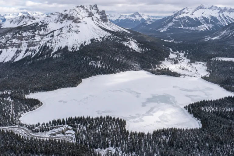
Emerald Lake Freeze
Usually Fully Freezes
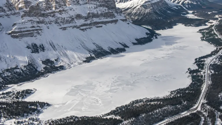
Bow Lake Freeze
Usually Fully Freezes
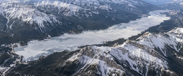
Lake Minnewanka Freeze
Usually Fully Freezes
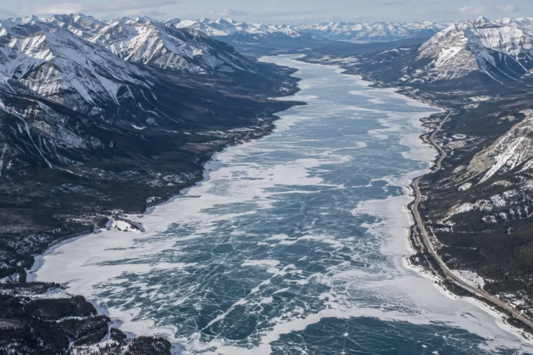
Abraham Lake Freeze
Usually Fully Freezes
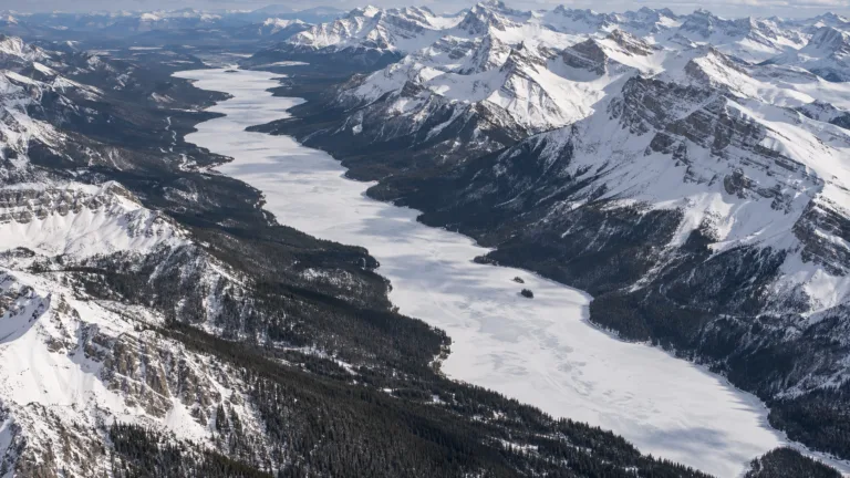
Maligne Lake Freeze
Usually Fully Freezes
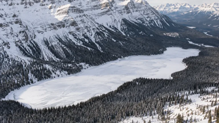
Peyto Lake Freeze
Usually Fully Freezes