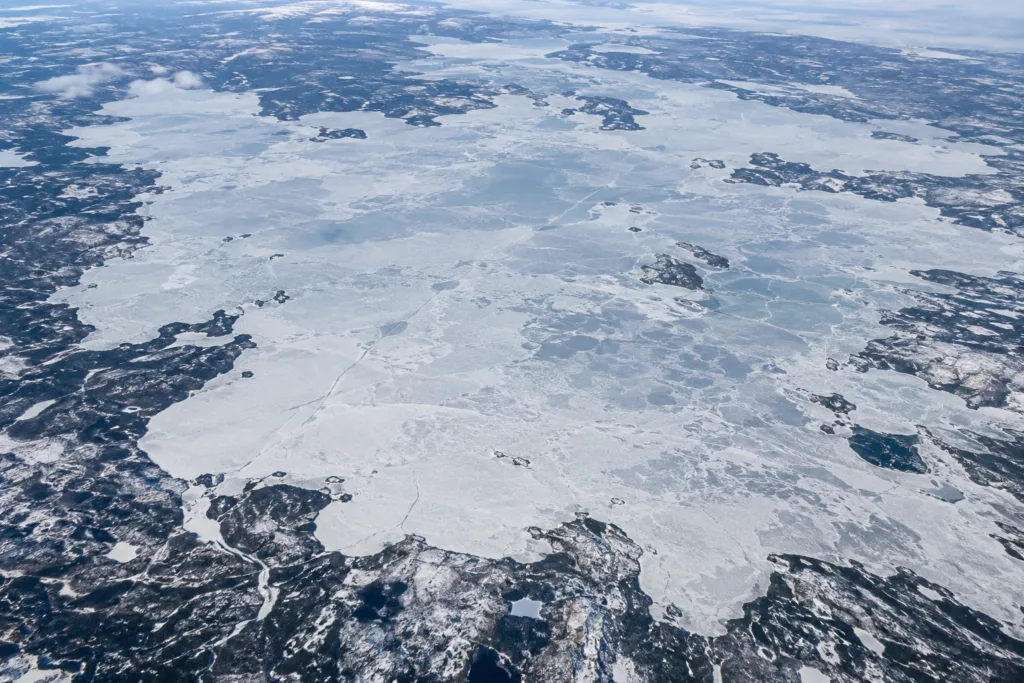
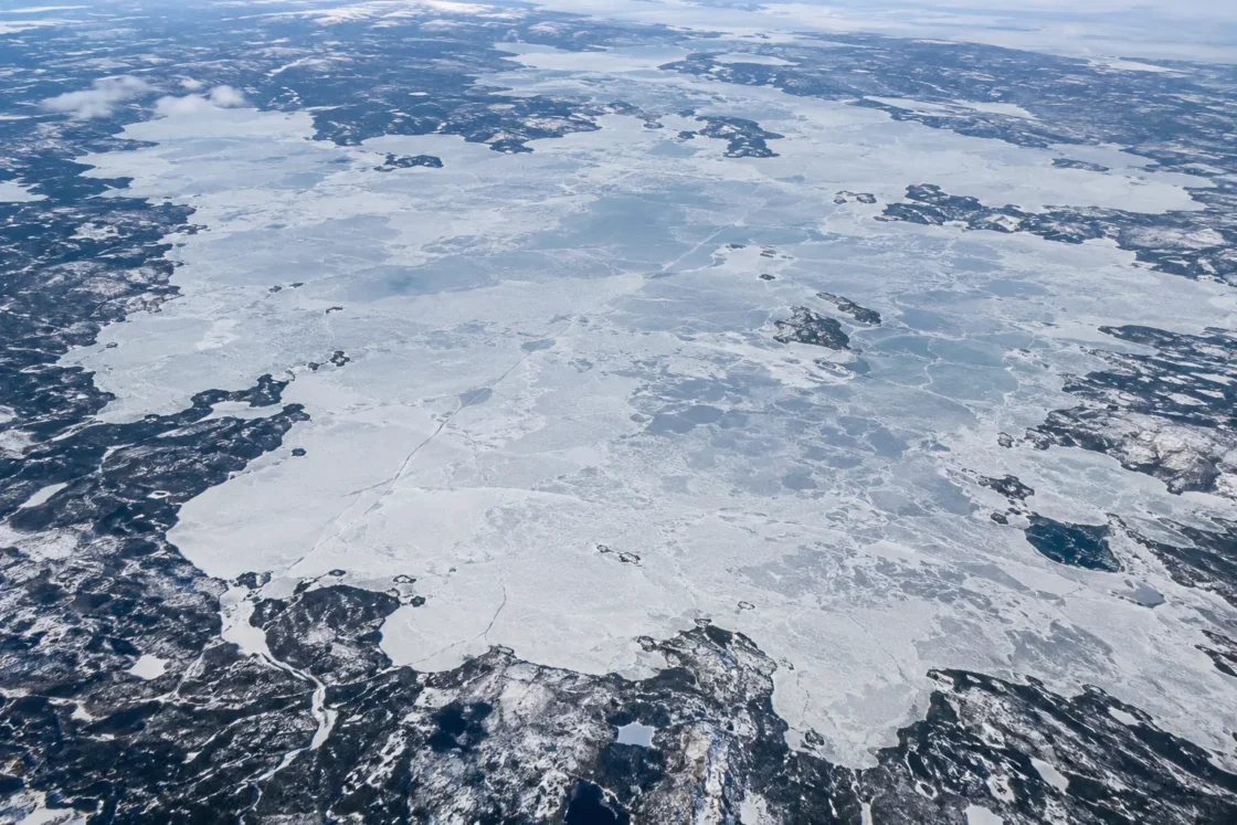
Regular complete seasonal ice cover with a long winter ice season
Peer Reviewed Satellite MonitoringThe Cryosphere — AMSR-E Ice Phenology of Great Bear Lake and Great Slave LakeRemote Sensing of Environment — QuikSCAT Ice Phenology, 2000–2006Journal of Geophysical Research: Earth Surface — Seasonal Temperature and Circulation Patterns in Great Bear LakeEarth System Science Data — 41-Year Passive-Microwave Lake Ice Phenology RecordEvidence: HighThe long northern cold season produces complete winter ice, while great depth, heat storage, broad fetch and the five-arm basin geometry make spring breakup slower and spatially uneven.
Where Is Great Bear Lake?
Northwest Territories · Canada
Great Bear Lake on the Globe
Rotate the world or focus directly on the lake.
Measured Ice and Freeze Data
Freeze and Ice Cover Through the Year
Month-level states are shown only when supported. Unclassified months remain explicitly marked.
Evidence Behind the Freeze Profile
Satellite phenology studies distinguish initial freeze onset from later ice-on and repeatedly resolve a complete winter ice phase across Great Bear Lake.
Peer Reviewed Satellite MonitoringThe Cryosphere — AMSR-E Ice Phenology of Great Bear Lake and Great Slave LakeEarth System Science Data — 41-Year Passive-Microwave Lake Ice Phenology RecordEvidence: HighFreeze onset appears first in the northern arm and along shorelines, while melt and final clearance progress differently among the eastern, southeastern and western arms.
Peer Reviewed Satellite MonitoringRemote Sensing of Environment — QuikSCAT Ice Phenology, 2000–2006Journal of Geophysical Research: Earth Surface — Seasonal Temperature and Circulation Patterns in Great Bear LakeEvidence: HighPublished syntheses of the satellite record place freeze-up at roughly two weeks but the spring melt-to-clearance interval at about six to seven weeks.
Peer ReviewedThe Cryosphere — AMSR-E Ice Phenology of Great Bear Lake and Great Slave LakeJournal of Geophysical Research: Earth Surface — Seasonal Temperature and Circulation Patterns in Great Bear LakeEvidence: HighA pan-Arctic analysis for 2004–2019 reported a median water-clear-of-ice shift of about eight days earlier across Great Bear Lake, with spatial variation across the lake.
Peer Reviewed Satellite AnalysisThe Cryosphere — Recent Changes in Pan-Arctic Lake Ice TimingEvidence: ModerateSources
- Canadian Geographical Names Database — Great Bear Lake
- The Cryosphere — AMSR-E Ice Phenology of Great Bear Lake and Great Slave Lake
- Remote Sensing of Environment — QuikSCAT Ice Phenology, 2000–2006
- Journal of Geophysical Research: Earth Surface — Seasonal Temperature and Circulation Patterns in Great Bear Lake
- Earth System Science Data — 41-Year Passive-Microwave Lake Ice Phenology Record
- The Cryosphere — Recent Changes in Pan-Arctic Lake Ice Timing
Great Bear Lake normally develops complete seasonal ice cover. The transition is not instantaneous: satellite records place freeze onset across the lake in mid-November, with near-complete ice-on near the end of November, while spring melt begins in May and can continue into July before the whole lake is clear.
Why Freeze-Up Is Shorter Than Breakup
Autumn cooling acts quickly once surface waters approach the freezing point. The 2002–2009 AMSR-E record puts roughly two weeks between freeze onset and ice-on across Great Bear Lake. Spring is slower. Melt can begin while most of the surface remains ice-covered, and the published satellite record shows roughly six to seven weeks between melt onset and final ice-off.
That long spring transition is visible in field observations as well. During the 2008–2009 season, freeze-up was complete by November 24, 2008, and the lake became ice-free between July 12 and 15, 2009, for about 230 days of ice cover. A single season should not be treated as the long-term average, but it shows how long ice can persist after spring warming begins.
The Five Arms Do Not Freeze and Clear Together
Great Bear Lake’s five-arm basin does not change state everywhere at once. QuikSCAT mapping for 2000–2006 found freeze onset appearing first in the northern arm and along shorelines. Melt onset appeared first in the eastern arm, while water cleared first in southeastern and western arms. AMSR-E mapping also found that ice could remain longer in Smith Arm and Dease Arm during some seasons.
This spatial pattern matters when reading a lake-wide freeze or breakup date. A date calculated from satellite pixels summarizes a moving boundary across a very large surface; it does not mean every bay, arm and central-water sector changed on the same day.
Why Such a Deep Lake Still Freezes Over
Great Bear Lake covers about 31,153 square kilometres, has a mean depth near 71 metres and reaches about 446 metres at its deepest point. That volume stores heat through the open-water season, so autumn cooling must remove a large amount of stored energy before stable ice can spread across the lake.
Its latitude supplies a long cold season strong enough to overcome that heat storage. Basin shape then modifies the sequence: shallow margins can cool quickly, deep water retains heat longer, and wind and mixing move heat through the water column. The result is regular complete winter ice, but with local timing differences around the five arms and a drawn-out spring breakup.
What Ice-On and Ice-Off Mean on Great Bear Lake
Different monitoring systems do not define every ice event in exactly the same way. The AMSR-E study separates freeze onset from ice-on, and melt onset from ice-off. The later 1979–2019 passive-microwave record used lake-pixel thresholds to distinguish the start and end of freeze-up and breakup while excluding nearshore pixels that were more vulnerable to land contamination.
QuikSCAT, AMSR-E and direct observations can therefore produce dates that differ by days or, in some cases, longer. Those differences do not automatically indicate a conflict. For Great Bear Lake, a seasonal window and the direction of spatial progression are more informative than treating one calendar date as fixed for every year and every part of the lake.
Earlier Ice Clearance in the Recent Satellite Period
A pan-Arctic satellite analysis for 2004–2019 reported a median water-clear-of-ice shift of about eight days earlier across Great Bear Lake. The pattern varied spatially across the lake.
That observation points to earlier summer ice clearance during that study period, not the disappearance of Great Bear Lake’s normal winter ice cover. Year-to-year variability remains large, so the 2004–2019 result is best read as a dated satellite-era change rather than a permanent replacement for the lake’s seasonal calendar.
Similar Lakes by Freeze Pattern
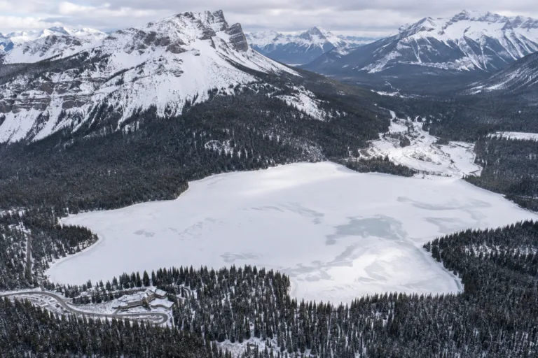
Emerald Lake Freeze
Usually Fully Freezes
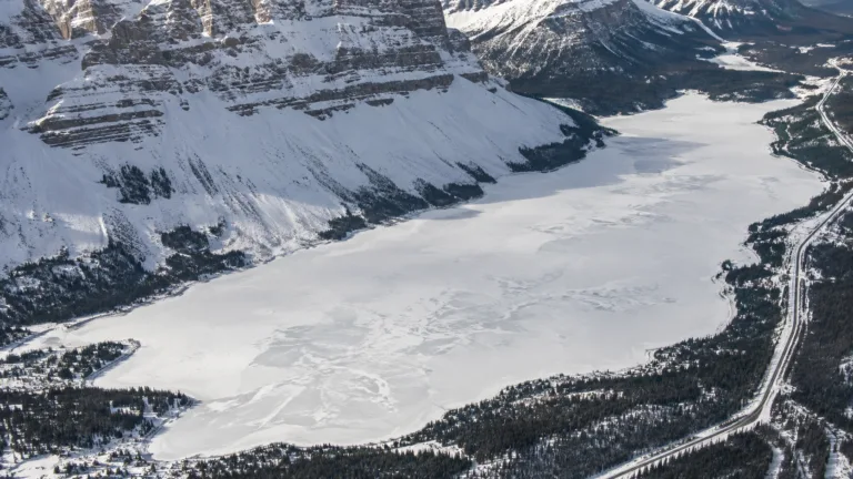
Bow Lake Freeze
Usually Fully Freezes
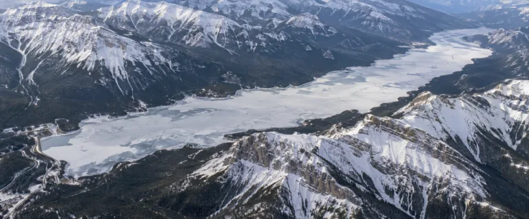
Lake Minnewanka Freeze
Usually Fully Freezes
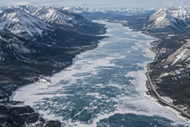
Abraham Lake Freeze
Usually Fully Freezes
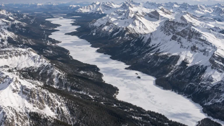
Maligne Lake Freeze
Usually Fully Freezes
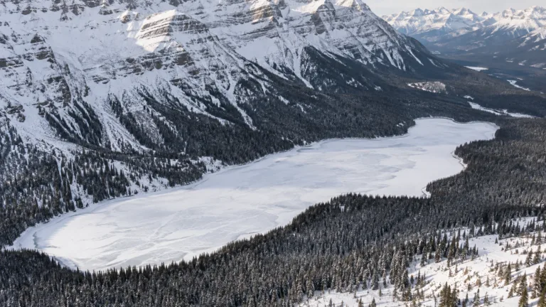
Peyto Lake Freeze
Usually Fully Freezes