
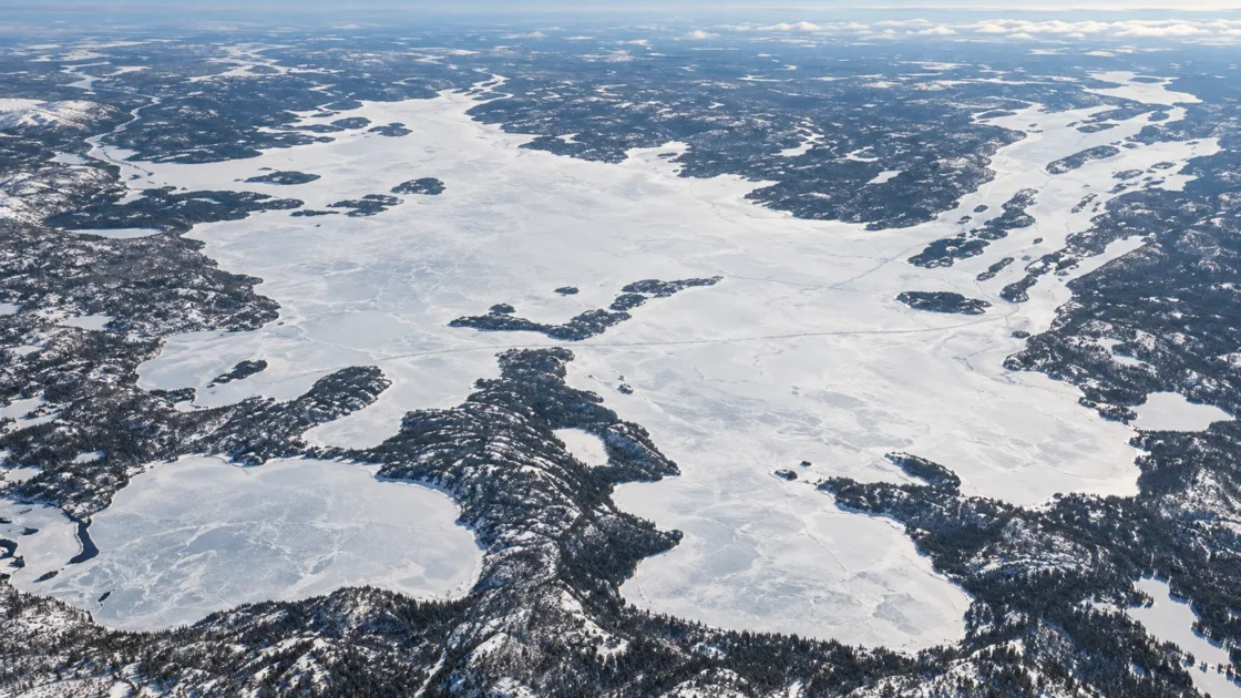
Seasonal lake-wide ice cover, with freeze-up developing through late autumn and breakup continuing into June
Historical Monitoring and Satellite Remote SensingNAV CANADA — The Weather of the Yukon, Northwest Territories and NunavutThe Cryosphere — Estimating Ice Phenology on Great Bear Lake and Great Slave LakeRemote Sensing of Environment — Great Slave Lake Ice Phenology from SeaWinds/QuikSCATProceedings of the Royal Society B — Arctic Warming and Ecosystem Shifts in Great Slave LakeEvidence: HighPersistent subarctic cold produces seasonal ice, while the lake's immense area and deep water retain heat into autumn. Basin geometry, exposure, river inflow, and differences between sheltered arms and the open main basin cause freeze-up and breakup to progress unevenly.
Where Is Great Slave Lake?
Northwest Territories · Canada
Great Slave Lake on the Globe
Rotate the world or focus directly on the lake.
Measured Ice and Freeze Data
Freeze and Ice Cover Through the Year
Month-level states are shown only when supported. Unclassified months remain explicitly marked.
Evidence Behind the Freeze Profile
Whole-lake observations from 1988–1998 recorded complete freeze-over between November 25 and December 16, with a median date of December 8.
Historical Monitoring RecordNAV CANADA — The Weather of the Yukon, Northwest Territories and NunavutEvidence: HighThe 1988–1998 whole-lake record placed the median water-clear-of-ice date on June 21, later than mean pixel ice-off dates derived from satellite observations because the metrics describe different stages of breakup.
Historical Monitoring and Satellite Remote SensingNAV CANADA — The Weather of the Yukon, Northwest Territories and NunavutThe Cryosphere — Estimating Ice Phenology on Great Bear Lake and Great Slave LakeEvidence: HighQuikSCAT observations from 2000–2006 found freeze onset first in the eastern arm, followed by northern and western arms and finally the centre of the main basin. Melt onset began first in the central basin, which also cleared earlier than peripheral areas.
Peer Reviewed Satellite AnalysisRemote Sensing of Environment — Great Slave Lake Ice Phenology from SeaWinds/QuikSCATEvidence: HighRecent community observations report later and less predictable fall freeze-up, while satellite analysis at the Slave River Delta found an earlier breakup trend over 1984–2023. These observations describe particular evidence types and locations rather than a single whole-lake freeze-date trend.
Government Community Survey and Peer Reviewed Satellite AnalysisGovernment of Northwest Territories — Great Slave Lake Community Survey ResultsRemote Sensing — Ice Break-Up Trends in the Slave River DeltaEvidence: ModerateSources
- Canadian Geographical Names Database — Great Slave Lake
- NAV CANADA — The Weather of the Yukon, Northwest Territories and Nunavut
- The Cryosphere — Estimating Ice Phenology on Great Bear Lake and Great Slave Lake
- Remote Sensing of Environment — Great Slave Lake Ice Phenology from SeaWinds/QuikSCAT
- Government of Northwest Territories — Great Slave Lake Community Survey Results
- Remote Sensing — Ice Break-Up Trends in the Slave River Delta
- Proceedings of the Royal Society B — Arctic Warming and Ecosystem Shifts in Great Slave Lake
Great Slave Lake develops complete seasonal ice cover, but the lake does not pass from open water to frozen surface on one uniform date. Sheltered areas can freeze weeks before the last open parts of the main basin, and spring clearing is equally uneven. That distinction explains why local observations, satellite ice-on dates, and whole-lake freeze-over records can all give different dates without being contradictory.
Why the whole lake does not freeze at once
Great Slave Lake combines a subarctic continental climate with the thermal inertia of an exceptionally large lake. It covers tens of thousands of square kilometres, and its deepest water reaches 614 metres in the East Arm. Water accumulated heat during summer and early autumn must be lost before stable surface ice can spread across exposed parts of the lake.
This produces a freeze-up period rather than a single freeze event. Satellite measurements from 2002–2009 placed mean freeze onset across individual Great Slave Lake pixels around day 328 of the year, while mean pixel ice-on occurred later, around day 343. Historical whole-lake monitoring used a stricter endpoint: complete freeze-over, when the remaining open portions had also become ice covered.
Wind exposure, fetch and basin shape matter during this interval. Smaller or more sheltered water can lose heat and maintain new ice under conditions that still allow waves and mixing over more exposed water. The depth of the lake also varies greatly from one sector to another, so the amount of stored heat is not spatially uniform.
The arms and main basin follow different ice clocks
Remote sensing makes the spatial sequence visible in a way that a shoreline observation cannot. QuikSCAT analysis for 2000–2006 found freeze onset occurring first within the eastern arm, followed closely by the northern and western arms, while the centre of the main basin froze later. A report that ice has formed at one community or bay therefore should not be read as evidence that the entire lake has reached complete freeze-over.
Spring reverses the pattern in a different way. The same satellite study found melt onset beginning first in the central basin and then progressing toward northern and eastern arms. The central basin also became clear of ice earlier than the periphery, with Slave River discharge identified as one influence on the clearing pattern.
Some eastern areas can retain ice after broad areas of open water have appeared elsewhere. Deep Christie Bay illustrates how local records can differ from whole-lake timing: observations there during 2019–2020 showed ice remaining much later than breakup in parts of the main lake. A local ice season is therefore not interchangeable with a lake-wide one.
Why June breakup can have more than one correct date
The meaning of an ice date depends on the event being measured. Melt onset marks the beginning of deterioration. Ice-off at a satellite pixel marks the disappearance of ice from that observed part of the lake. Water clear of ice for the entire lake requires the remaining ice anywhere within the defined lake surface to disappear.
That distinction is visible in the records. The 2002–2009 AMSR-E study placed mean pixel melt onset at day 135 and mean pixel ice-off at day 157. By contrast, whole-lake observations for 1988–1998 gave a median water-clear-of-ice date of June 21. The later whole-lake date does not conflict with earlier satellite clearing over individual pixels; it describes the final stage of the process.
Year-to-year weather can move these boundaries considerably. Historical records from 1988–1998 placed complete freeze-over as early as November 25 and as late as December 16. Whole-lake breakup in the same record ranged from June 1 to June 24. These ranges show why a fixed annual freeze or thaw date would misrepresent the lake.
What recent observations say about a changing ice season
Recent evidence points toward change, but the evidence does not all measure the same part of Great Slave Lake. A 2024 Government of Northwest Territories community survey found that 73% of respondents observed later fall freeze-up, 87% reported that ice takes longer to form, and 26% described freeze-up as more unpredictable than in the past. These are community observations rather than a uniform instrumental series covering every part of the lake.
At the southern edge of the lake, satellite analysis of the Slave River Delta over 1984–2023 reported a trend toward earlier breakup. The delta is strongly affected by river inflow and is not a substitute for the timing of the deep eastern arms or the entire lake surface. Its record is most useful as evidence that spring ice change can occur differently within the Great Slave Lake system.
Independent work on the West Basin has also linked recent regional warming and declining ice cover with changes in the lake ecosystem. Taken together, these records support continued attention to ice-season change while also showing why location, observation method and event definition must accompany any freeze or breakup date reported for Great Slave Lake.
Similar Lakes by Freeze Pattern
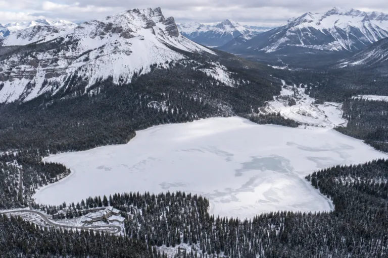
Emerald Lake Freeze
Usually Fully Freezes
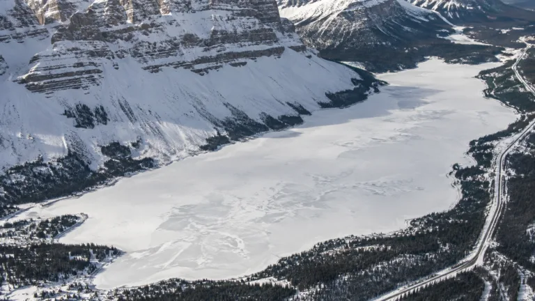
Bow Lake Freeze
Usually Fully Freezes
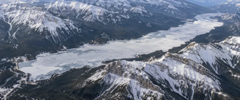
Lake Minnewanka Freeze
Usually Fully Freezes
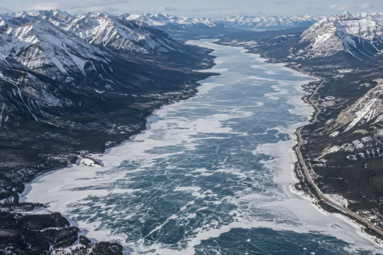
Abraham Lake Freeze
Usually Fully Freezes
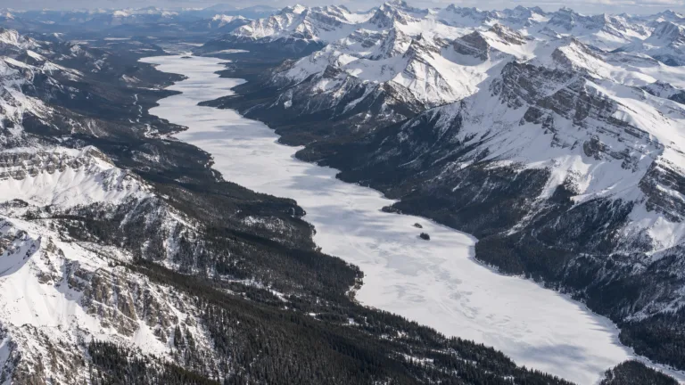
Maligne Lake Freeze
Usually Fully Freezes
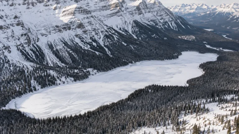
Peyto Lake Freeze
Usually Fully Freezes