
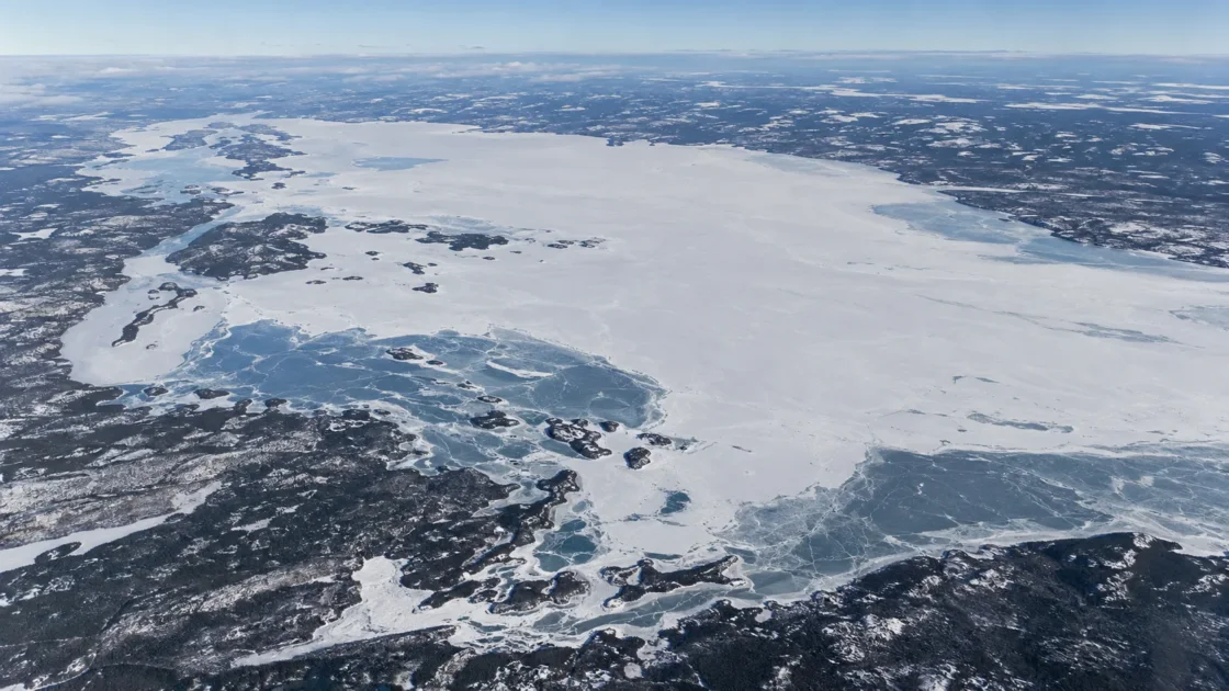
Seasonal complete ice cover
Official Seasonal Analysis and Historical Monitoring RecordEnvironment Canada — National Marine Weather Guide, Prairies Regional GuideBrown and Duguay (2011) — The fate of lake ice in the North American ArcticEvidence: HighPersistent autumn cooling supports a full seasonal ice cover, while the shallow western end and Peace-Athabasca Delta inflows, outflows and occasional flow reversals create strong local differences in freeze-up and breakup behavior.
Where Is Lake Athabasca?
Alberta and Saskatchewan · Canada
Lake Athabasca on the Globe
Rotate the world or focus directly on the lake.
Measured Ice and Freeze Data
Freeze and Ice Cover Through the Year
Month-level states are shown only when supported. Unclassified months remain explicitly marked.
Evidence Behind the Freeze Profile
Environment Canada reports freeze-up beginning in mid- to late October, completion by mid-December, western-end breakup by mid-April, and ice-free conditions from late May to early June.
Official Seasonal AnalysisEnvironment Canada — National Marine Weather Guide, Prairies Regional GuideEvidence: HighThe western end is shallow, averaging about 2.5 m west of Bustard Island, and is directly influenced by the Peace-Athabasca Delta channel network and variable currents.
Government Lake DataEnvironment Canada — National Marine Weather Guide, Prairies Regional GuideBrown and Duguay (2011) — The fate of lake ice in the North American ArcticEvidence: HighThe 1968–1990 Canadian Ice Database record used by Brown and Duguay represents observations near Fort Chipewyan and should not be treated as an exact whole-lake date.
Peer ReviewedBrown and Duguay (2011) — The fate of lake ice in the North American ArcticEvidence: ModerateFor 1961–1990, the Lake Athabasca lake-site record shifted toward later complete freeze-over by about 29 days across the period; the reported earlier breakup trend did not meet the study's statistical threshold, and the basin report notes that no recent lake-ice trend analysis was available.
Historical Monitoring RecordMackenzie River Basin Board — Athabasca Water QuantityEvidence: ModerateSources
- Environment Canada — National Marine Weather Guide, Prairies Regional Guide
- Natural Resources Canada — Lake Athabasca Official Geographic Feature
- Natural Resources Canada — Canadian Geographical Names Database: Lake Athabasca
- Brown and Duguay (2011) — The fate of lake ice in the North American Arctic
- Mackenzie River Basin Board — Athabasca Water Quantity
Lake Athabasca normally develops complete seasonal ice cover. Ice formation begins during autumn, but the lake does not reach complete freeze-over at the moment the first ice appears. Environment Canada places the start of freeze-up in mid- to late October, with completion by mid-December. In spring, opening begins first at the western end, while complete clearing of lake ice generally comes from late May to early June.
Why breakup begins at the western end
The western end of Lake Athabasca is physically different from the deeper open lake. West of Bustard Island, Environment Canada gives an average depth of only about 2.5 m. This shallow zone grades into the Peace-Athabasca Delta, where the Athabasca River divides into distributary channels and water moves through a network of lake and river connections.
Flow there is not always one-directional. When the Peace River is high, currents in the Chenal des Quatre Fourches and Rivière des Rochers can reverse. The combination of shallow water, channelized flow and changing hydraulic connections means that an ice observation near Fort Chipewyan does not automatically describe conditions across the central and eastern parts of the lake. The same spatial distinction matters during spring, when the west can begin opening while large areas farther across the lake remain ice-covered.
First ice and complete freeze-over are different dates
The autumn sequence on Lake Athabasca spans more than one ice event. The first visible formation of seasonal ice can begin in October, whereas complete freeze-over comes later. Historical Canadian Ice Database observations used in a peer-reviewed lake-ice study recorded a mean complete freeze-over day of year of 339 for the Lake Athabasca site during 1968–1990. That places the historical site average in early December rather than at the first appearance of autumn ice.
The distinction also applies in spring. Initial openings and western-end breakup begin well before the water body is clear of ice. The same historical record gives a mean water-clear-of-ice day of year of 145, around late May. These monitoring dates describe different stages of the seasonal cycle and should not be collapsed into one generic “thaw date.”
Why the Fort Chipewyan record needs local context
Brown and Duguay found Lake Athabasca unusually difficult to reproduce with a simple one-dimensional lake-ice model. Simulated freeze-up occurred about 38 days earlier than the observed Lake Athabasca site record. The authors pointed to the observation location beside the Peace-Athabasca Delta, where very shallow water and hydrological inputs are not well represented by a model that treats the lake as a simpler vertical water column.
This mismatch is useful for interpreting Lake Athabasca ice records. A depth value alone does not explain the western basin. River inflow, outflow, occasional flow reversal and local heat storage around the delta can alter the timing observed at the shoreline. For that reason, the historical Fort Chipewyan dates are retained as site-based measurements rather than presented as exact dates for every part of the lake.
The 1961–1990 freeze-up shift is a historical record, not a current rate
The Mackenzie River Basin Board’s synthesis reports that the Lake Athabasca lake-site series shifted toward later freeze-up by about 29 days across 1961–1990. Breakup moved earlier by as much as about two weeks over the same period, but that spring trend did not pass the study’s statistical threshold.
The time period matters. The basin assessment also notes that no recent lake-ice trend analysis was available for Lake Athabasca in that comparison. The 1961–1990 result therefore documents a historical change in the observation record; it does not establish that the lake has continued shifting at the same rate, nor does it provide a present-day whole-lake freeze date.
Similar Lakes by Freeze Pattern
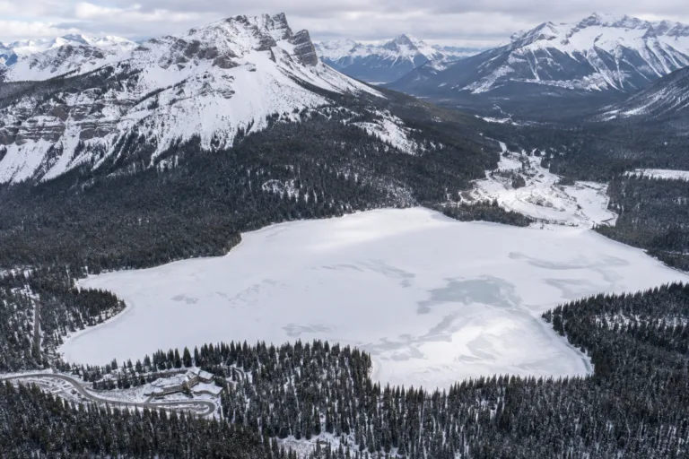
Emerald Lake Freeze
Usually Fully Freezes
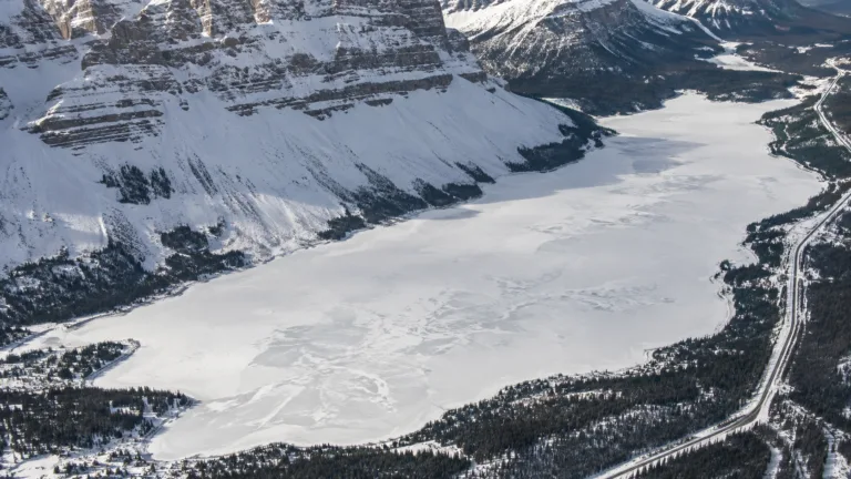
Bow Lake Freeze
Usually Fully Freezes
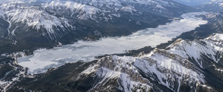
Lake Minnewanka Freeze
Usually Fully Freezes
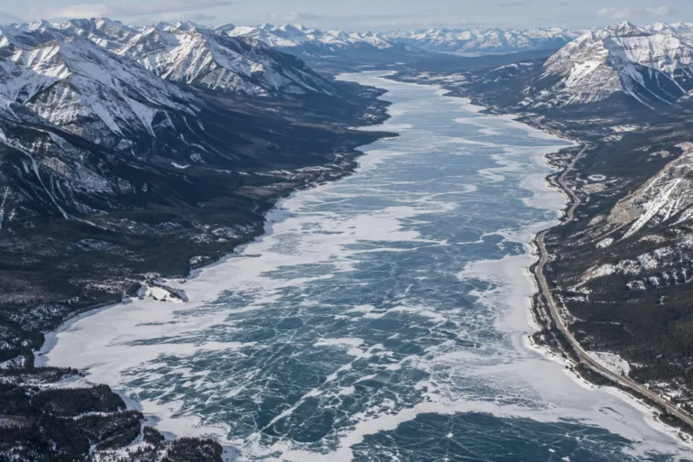
Abraham Lake Freeze
Usually Fully Freezes
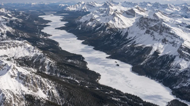
Maligne Lake Freeze
Usually Fully Freezes
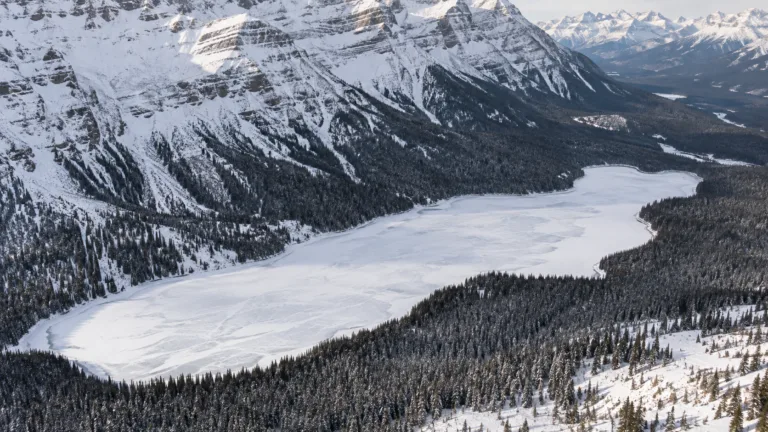
Peyto Lake Freeze
Usually Fully Freezes