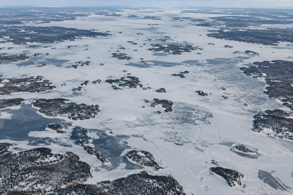
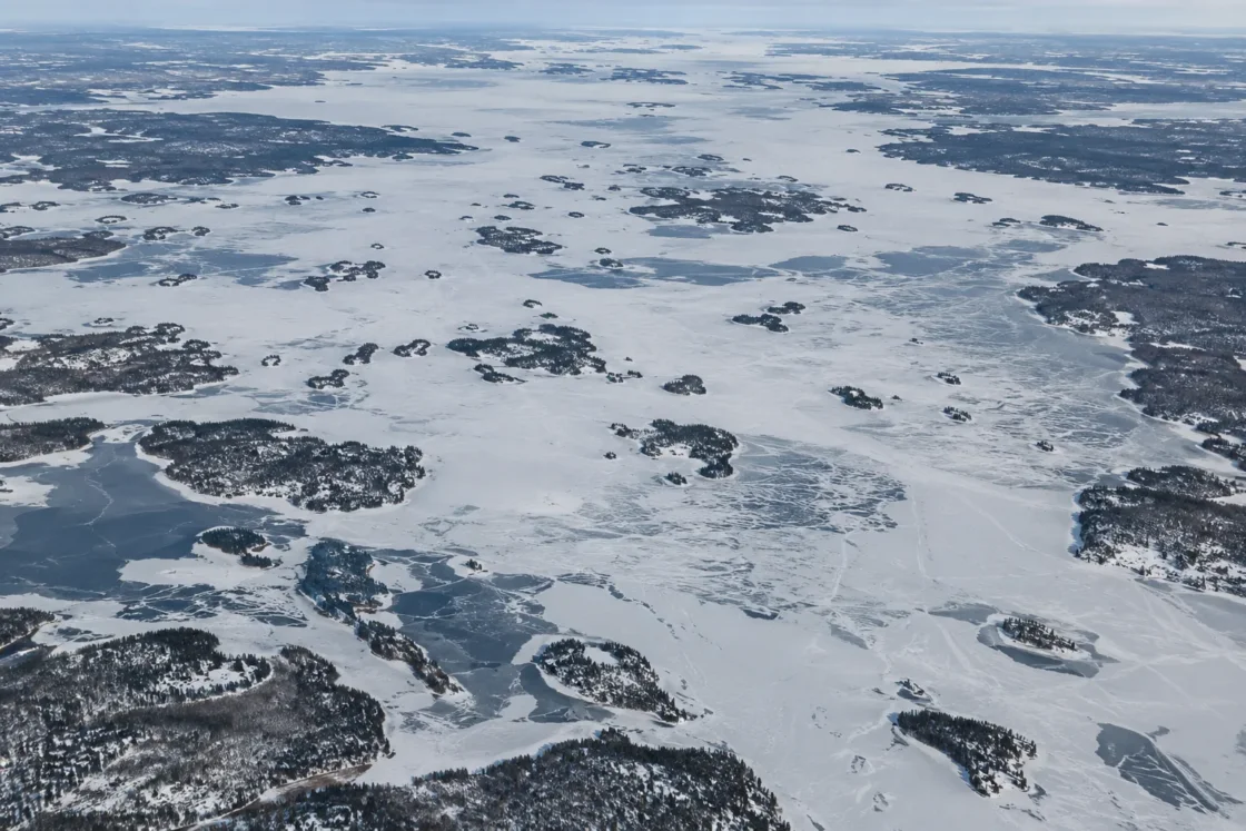
Regular seasonal freeze-over with winter-long ice cover
Official Monitoring, Scientific Dataset and Peer ReviewedInternational Joint Commission — Lake of the Woods Briefing PaperMinnesota DNR — Lake Ice Out DatesMinnesota DNR — Lake Ice In DatesNSIDC — Global Lake and River Ice Phenology DatabaseLastLake — Lake of the Woods Ice RecordJournal of Great Lakes Research — Advances in Eutrophication Science within Lake of the WoodsRainy–Lake of the Woods State of the Basin Report 2014Journal of Great Lakes Research — Thermal Stratification Patterns in Northern Lake of the WoodsEvidence: ModerateCold continental winters drive freeze-over, while the lake’s large area, complex basin geometry, wind exposure, currents and uneven depths make freeze-up and breakup spatially uneven.
Where Is Lake of the Woods?
Manitoba / Ontario / Minnesota · Canada / United States
Lake of the Woods on the Globe
Rotate the world or focus directly on the lake.
Measured Ice and Freeze Data
Freeze and Ice Cover Through the Year
Month-level states are shown only when supported. Unclassified months remain explicitly marked.
Evidence Behind the Freeze Profile
A historical IJC briefing placed average lake freeze-up near December 1, while Minnesota DNR ice-in reporting defines ice-in as the whole lake freezing over and remaining ice-covered through winter.
Official MonitoringInternational Joint Commission — Lake of the Woods Briefing PaperMinnesota DNR — Lake Ice In DatesEvidence: HighThe historical IJC description places lake breakup around late April, Minnesota DNR’s long-term Lake of the Woods median is May 3, and the older Environment Canada record archived through NSIDC yields a May 10 median for complete ice loss.
Official Monitoring and Scientific DatasetInternational Joint Commission — Lake of the Woods Briefing PaperMinnesota DNR — Lake Ice Out DatesNSIDC — Global Lake and River Ice Phenology DatabaseLastLake — Lake of the Woods Ice RecordEvidence: ModerateThe Lake of the Woods series was contributed by W. R. Skinner of Environment Canada to the NSIDC archive and was read at a weather station; it is useful historical phenology evidence but has a narrower observation basis than a lake-wide remote-sensing record.
Scientific DatasetNSIDC — Global Lake and River Ice Phenology DatabaseLastLake — Lake of the Woods Ice RecordEvidence: ModerateResearch summarized for Lake of the Woods reports declining ice-cover duration in northern basins since the 1960s, while the broad southern basins show much smaller change; Whitefish Bay records document a longer ice-free season.
Peer Reviewed and Historical Monitoring RecordJournal of Great Lakes Research — Advances in Eutrophication Science within Lake of the WoodsRainy–Lake of the Woods State of the Basin Report 2014Evidence: HighRecent field work in northern Lake of the Woods describes strong spatial variation in mixing and thermal behavior associated with complex bathymetry, hydrology, wind and current mixing.
Peer ReviewedJournal of Great Lakes Research — Thermal Stratification Patterns in Northern Lake of the WoodsEvidence: HighSources
- International Joint Commission — Lake of the Woods Briefing Paper
- Minnesota DNR — Lake Ice Out Dates
- Minnesota DNR — Lake Ice In Dates
- NSIDC — Global Lake and River Ice Phenology Database
- LastLake — Lake of the Woods Ice Record
- Canada Water Agency — Lake of the Woods Overview
- Canadian Geographical Names Database — Lake of the Woods (GBENZ)
- Journal of Great Lakes Research — Advances in Eutrophication Science within Lake of the Woods
- Rainy–Lake of the Woods State of the Basin Report 2014
- Journal of Great Lakes Research — Thermal Stratification Patterns in Northern Lake of the Woods
Lake of the Woods normally develops a persistent seasonal ice cover, with freeze-over centered on the turn from November to December and breakup extending from late April into May. The lake is large enough, and its bays, islands, narrows and open reaches different enough, that a single ice-on or ice-off date should be read as a monitoring event rather than a claim that every part of the lake changed state at the same moment.
Why Lake of the Woods does not freeze everywhere at once
Lake of the Woods covers about 4,350 square kilometres across Ontario, Manitoba and Minnesota. Its northern half is divided by islands, channels and deeper embayments, while the broad southern part includes much more open fetch. Recent field work in the northern lake has shown that water-column mixing can differ sharply among nearby basins because bathymetry, inflow and outflow paths, wind and currents do not act uniformly across the lake.
That spatial complexity matters during freeze-up. Sheltered water can lose heat and develop ice earlier than wind-exposed water, while current-affected narrows can lag behind nearby quiet bays. The monitored freeze-over date is therefore a useful seasonal marker, but it compresses a multi-stage lake-wide transition into one reported event.
Why spring ice-out records do not all give the same date
Different Lake of the Woods records describe spring breakup with different observation periods and criteria. A historical International Joint Commission briefing described lake breakup as following river breakup by about two weeks, placing the usual lake transition near the end of April. Minnesota DNR records give Lake of the Woods a long-term median ice-out date of May 3. An older Environment Canada series preserved in the NSIDC lake-ice archive, covering 24 winters between 1955 and 1994, yields a median complete ice-loss date of May 10.
Those dates should not be merged into one artificial average. Minnesota DNR notes that an ice-out report can be based on complete ice loss, navigability between established points or a mostly ice-free lake, depending on the lake’s established observation practice. The older Environment Canada series is also station-based rather than a modern whole-lake satellite record. The difference between early-May and mid-May medians is therefore partly a difference in record design, period and observational definition.
Whitefish Bay shows how the ice season has changed locally
The clearest long-term change documented within Lake of the Woods comes from Whitefish Bay and other northern sectors rather than from a uniform lake-wide trend. The 2014 Rainy–Lake of the Woods basin report summarized a 1960–2010 Whitefish Bay analysis in which the ice-free period lengthened by 27.7 days. That change combined later ice-on with earlier ice-out.
Later research reviewing Lake of the Woods as a whole describes the same geographic contrast: northern basins have shown declining ice-cover duration since the 1960s, while the expansive southern basins have changed much less. That distinction matters for a lake this large. A trend measured in Whitefish Bay should not be rewritten as an identical trend for Big Traverse Bay or every shoreline sector.
The 2026 breakup was later than the Minnesota median
Minnesota DNR reported Lake of the Woods ice-out on May 15 in 2026, twelve days later than its May 3 median. The same record also contains much earlier and later years, so the 2026 date is best read as one season within a wide year-to-year range rather than a new normal.
This variability is consistent with the lake’s size and exposure. Spring breakup depends on the heat accumulated in the water and ice, air temperature, solar input, snow and ice condition, wind, and the way moving water opens channels and shore zones. A cold or windy spring can shift the reported event well away from the median even when the longer-term seasonal pattern remains recognizable.
Similar Lakes by Freeze Pattern
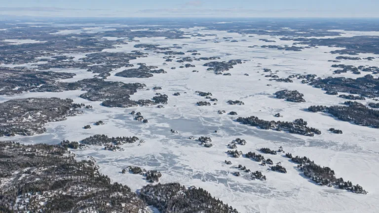
Rainy Lake Freeze
Usually Fully Freezes
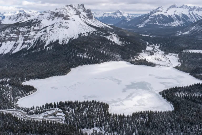
Emerald Lake Freeze
Usually Fully Freezes
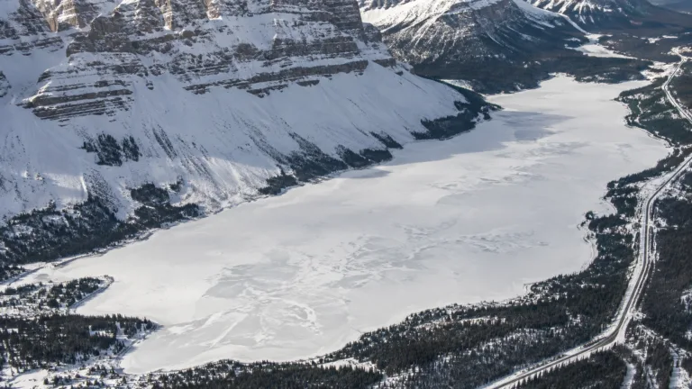
Bow Lake Freeze
Usually Fully Freezes
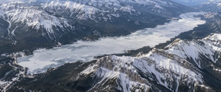
Lake Minnewanka Freeze
Usually Fully Freezes
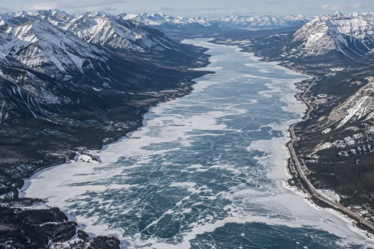
Abraham Lake Freeze
Usually Fully Freezes
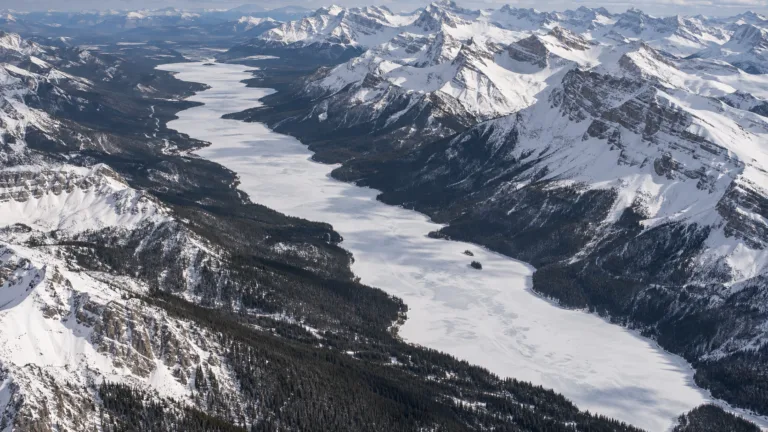
Maligne Lake Freeze
Usually Fully Freezes