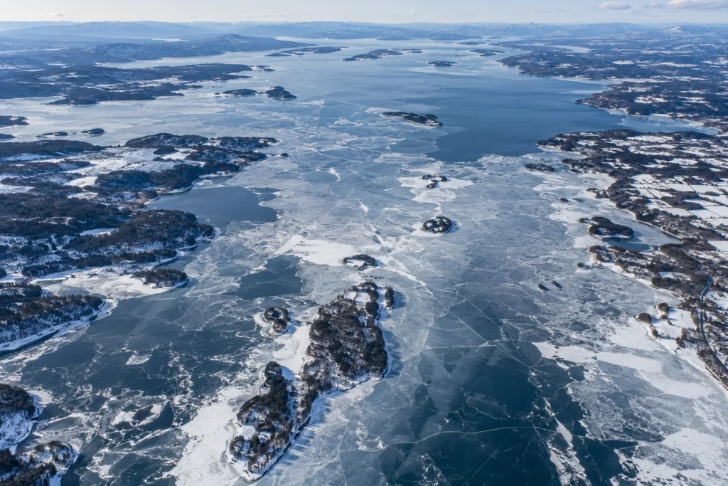
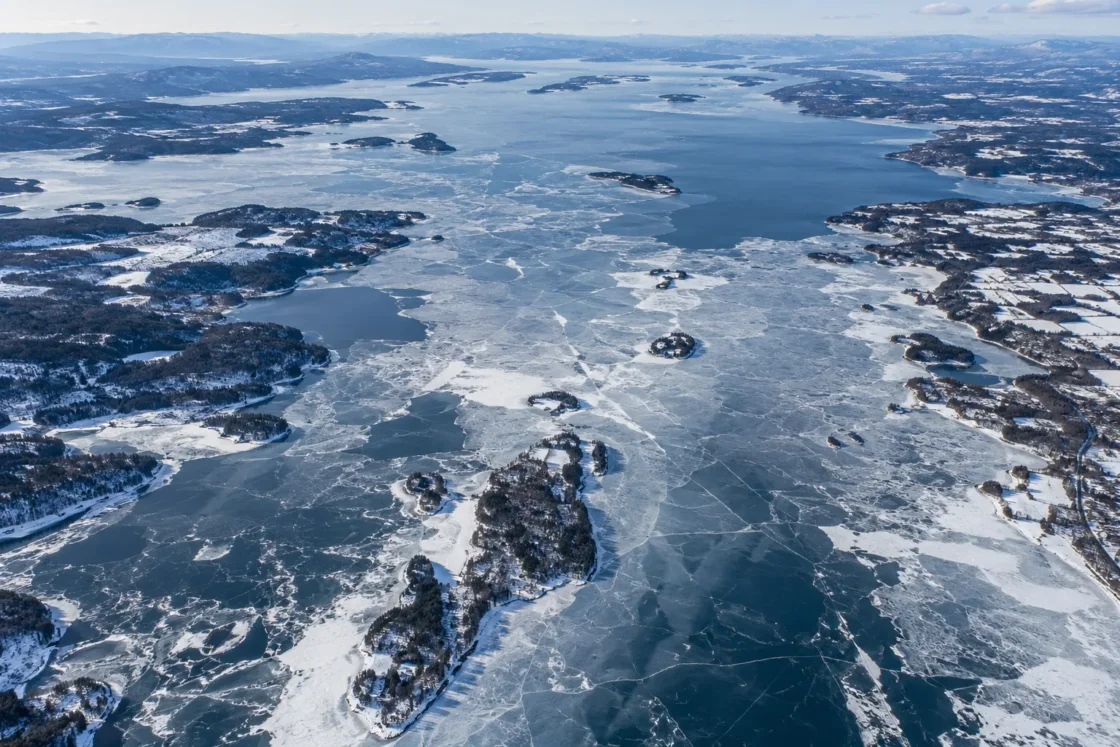
Seasonal ice is common; complete lake closure is intermittent.
Official Monitoring and Government Lake DataNational Weather Service Burlington — Dates of Lake Champlain ClosingLake Champlain Basin Program — Lake and Basin FactsLake Champlain Basin Program — 2024 State of the Lake and Ecosystem Indicators ReportNew York State Department of Environmental Conservation — Lake Champlain Lake Trout FishingEvidence: ModerateShallow and protected bays can freeze while the deep, broad main lake remains open; stored heat and wind exposure delay or disrupt lake-wide closure.
Where Is Lake Champlain?
Vermont / New York / Quebec · United States / Canada
Lake Champlain on the Globe
Rotate the world or focus directly on the lake.
Measured Ice and Freeze Data
Freeze and Ice Cover Through the Year
Month-level states are shown only when supported. Unclassified months remain explicitly marked.
Evidence Behind the Freeze Profile
NWS Burlington lists February 13, 2026 as the first lake closure since March 8, 2019.
Official MonitoringNational Weather Service Burlington — Dates of Lake Champlain ClosingEvidence: HighSince 2009, NWS Burlington has used archived polar satellite imagery; small open-water gaps can remain below the practical resolution of the determination.
Official Monitoring MethodNational Weather Service Burlington — Dates of Lake Champlain ClosingNational Weather Service Burlington — Lake Champlain Ice CoverageEvidence: HighThe 2024 State of the Lake report contrasts near-annual complete freeze-over in the early 1900s with a recent rate of about once every five years.
Government Lake DataLake Champlain Basin Program — 2024 State of the Lake and Ecosystem Indicators ReportEvidence: HighProtected areas can carry ice when the lake as a whole does not close, while wind can fracture ice or reopen sections of water.
State Fisheries GuidanceNew York State Department of Environmental Conservation — Lake Champlain Lake Trout FishingEvidence: ModerateSources
- National Weather Service Burlington — Dates of Lake Champlain Closing
- Lake Champlain Basin Program — Lake and Basin Facts
- Lake Champlain Basin Program — 2024 State of the Lake and Ecosystem Indicators Report
- National Weather Service Burlington — Lake Champlain Ice Coverage
- New York State Department of Environmental Conservation — Lake Champlain Lake Trout Fishing
- Getty Thesaurus of Geographic Names — Lake Champlain
Lake Champlain develops winter ice regularly, especially in sheltered bays, but the broad lake does not close every year. The National Weather Service listed a full closure on February 13, 2026, the first since March 8, 2019, after six consecutive winters without a listed closure.
What “closed” means on Lake Champlain
Lake Champlain has one of the longer lake-closure records in North America, but the meaning of “closed” has changed with the observing method. Nineteenth-century entries could reflect the end of commercial shipping or visual reports of ice across the broad lake between the Burlington area and the New York shore. Those records cannot always establish that every part of the lake was covered.
Modern monitoring is different. Since 2009, National Weather Service Burlington has archived polar-orbiting satellite imagery to judge approximate ice coverage. Even a modern “iced over” determination can include very small open-water gaps that are not resolved clearly in the imagery. For Lake Champlain, closure is therefore a defined monitoring observation rather than a guarantee of perfectly continuous ice over every square meter of water.
Why the broad lake freezes later than sheltered bays
Lake Champlain is large enough for its basins to respond differently to the same winter. It covers about 455 square miles (1,179 square kilometers), reaches roughly 400 feet (122 meters) at its deepest point, and is divided into distinct sectors that include the Main Lake, South Lake, Malletts Bay, the Northeast Arm and Missisquoi Bay.
The deep Main Lake can retain heat longer than shallow or protected water, while its long open-water reaches remain exposed to wind and wave mixing. Sheltered bays can lose heat and form ice while open portions of the broad lake are still moving. New York State fisheries guidance also notes that Lake Champlain may or may not freeze completely in winter and that strong winds can break established ice apart or pull sections away from one another, creating open water again.
The 2026 freeze in a much longer record
The February 2026 closure was unusual in the recent sequence, but it fits within a record that still contains occasional cold winters capable of closing the broad lake. The 2024 State of the Lake report states that Lake Champlain froze over nearly every year in the early 1900s, whereas complete freeze-over in the recent climate had fallen to about once every five years.
The same report cites modeling that suggests complete freeze-over could decline to roughly once per decade by 2050. A single winter such as 2025–26 does not establish a change in that multi-decadal pattern; it shows that full closure remains possible when cold weather persists long enough for the broad lake to lose its stored heat.
Why the oldest closure dates need context
The historical series includes an earliest listed closure in January and a latest listed closure in late March, but those endpoints come from an era when observing methods were not the same as today. The National Weather Service explicitly treats the older list as informational because source quality and the meaning of “closure” vary through time.
That distinction matters when comparing centuries. The modern satellite-era record is better suited to judging broad-lake ice coverage, while nineteenth-century dates are most useful as evidence that winter closure was documented far more often than it is now. Treating every historical date as if it were produced by the same measurement method would give a false sense of precision.
Similar Lakes by Freeze Pattern

Lake Teletskoye Freeze
Variable Full/Partial Freeze
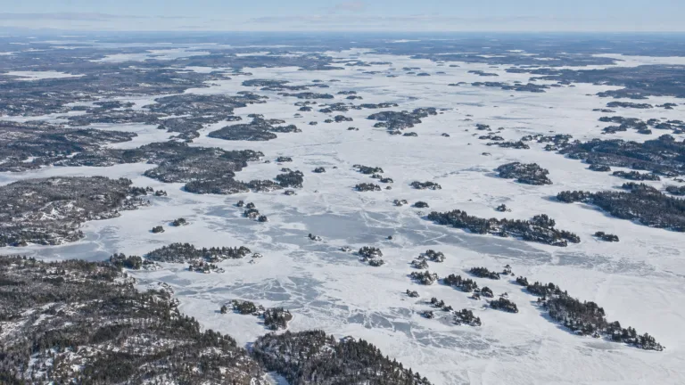
Rainy Lake Freeze
Usually Fully Freezes
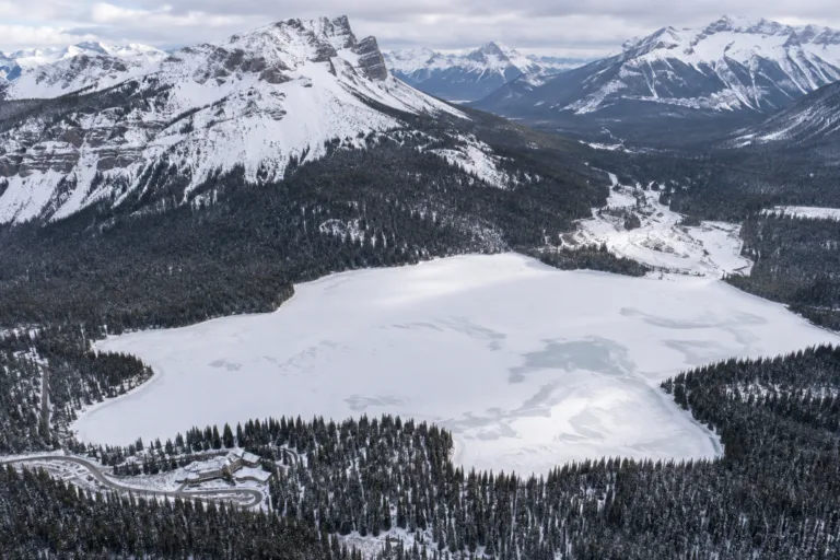
Emerald Lake Freeze
Usually Fully Freezes
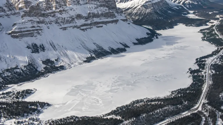
Bow Lake Freeze
Usually Fully Freezes
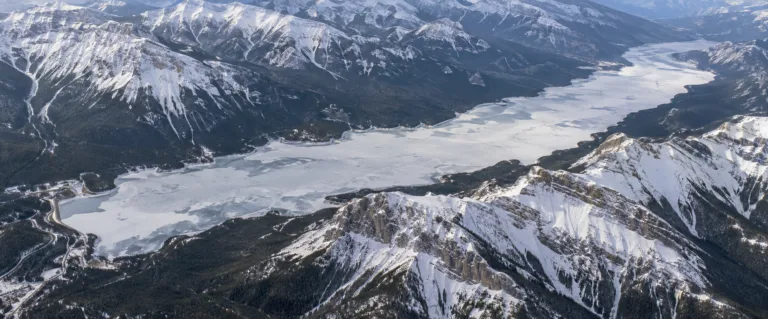
Lake Minnewanka Freeze
Usually Fully Freezes
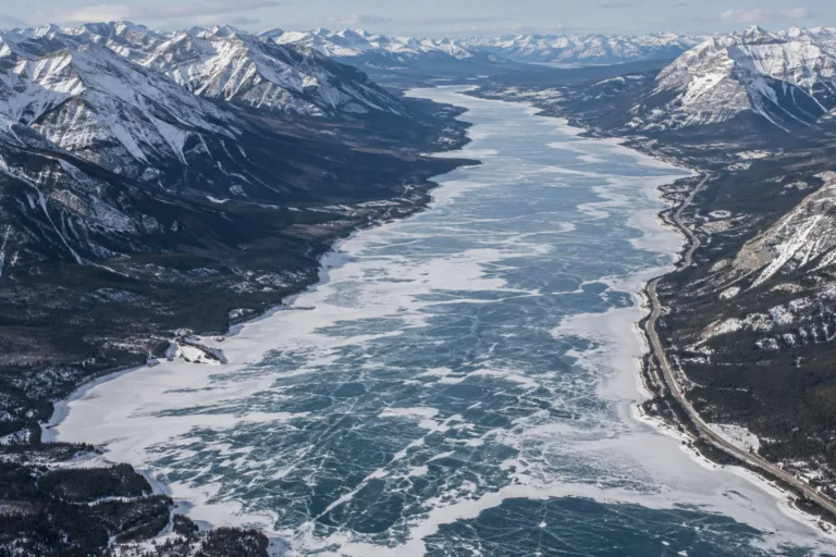
Abraham Lake Freeze
Usually Fully Freezes